Great Western Divide
| Great Western Divide | |
|---|---|
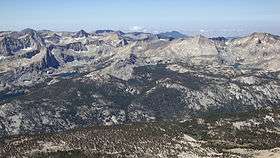 Great Western Divide from Mount Kaweah | |
| Highest point | |
| Peak | Mount Kaweah (Kaweah Peaks Ridge) |
| Elevation | 13,807 ft (4,208 m) NAVD 88[1] |
| Coordinates | 36°31′35″N 118°28′41″W / 36.52639°N 118.47806°WCoordinates: 36°31′35″N 118°28′41″W / 36.52639°N 118.47806°W [2] |
| Geography | |
 Great Western Divide | |
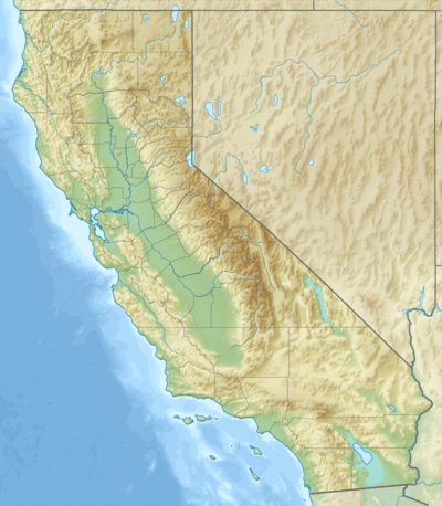
| Country | United States |
| State | California |
| County | Tulare |
| Parent range | Sierra Nevada |
| Topo map | USGS Mount Kaweah |
The Great Western Divide is a Sierra Nevada mountain range that forms part of the border between the Kings Canyon and Sequoia National Parks. Some of the summits of the Great Western Divide reach well over 13,000 feet (3,962 m). The High Sierra Trail crosses the range at Kaweah Gap from Sequoia National Park.
The divide separates the watersheds of the Kaweah, Kern and Kings rivers. The divide includes the Kings–Kern Divide and the Kaweah Peaks Ridge.
List of peaks
 The Great Western Divide from Moro Rock |
References
- ↑ "Great Western Divide". Peakbagger.com. Retrieved 2010-06-02.
- ↑ "Great Western Divide". Geographic Names Information System. United States Geological Survey. Retrieved 2010-06-03.
This article is issued from Wikipedia - version of the 9/19/2014. The text is available under the Creative Commons Attribution/Share Alike but additional terms may apply for the media files.