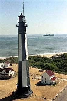
Great Wicomico River Light
|
Undated photograph of Great Wicomico River Light (USCG) | |
 | |
| Location | Mouth of the Great Wicomico River |
|---|---|
| Coordinates | 37°48′15″N 76°16′03″W / 37.8042°N 76.2675°WCoordinates: 37°48′15″N 76°16′03″W / 37.8042°N 76.2675°W |
| Year first lit | 1889 |
| Deactivated | 1967 |
| Foundation | screw-pile |
| Construction | cast-iron/wood |
| Tower shape | hexagonal house |
| Height | 42 feet (13 m) |
| Original lens | fourth-order Fresnel lens |
| Range | 6.1 nautical miles; 11 kilometres (7 mi) |
| Characteristic | Flashing 6 sec |
The Great Wicomico River Light was a lighthouse located at the mouth of the Great Wicomico River, south of the Potomac River on the western side of the Chesapeake Bay.
References
- "Historic Light Station Information and Photography: Virginia". United States Coast Guard Historian's Office.
- Great Wicomico River Light, from the Chesapeake Chapter of the United States Lighthouse Society
- de Gast, Robert (1973). The Lighthouses of the Chesapeake. Johns Hopkins University Press. p. 155.
This article is issued from Wikipedia - version of the 4/12/2016. The text is available under the Creative Commons Attribution/Share Alike but additional terms may apply for the media files.
