Green Town
| Green Town گرين ٹاؤن | |
|---|---|
| Residential Area | |
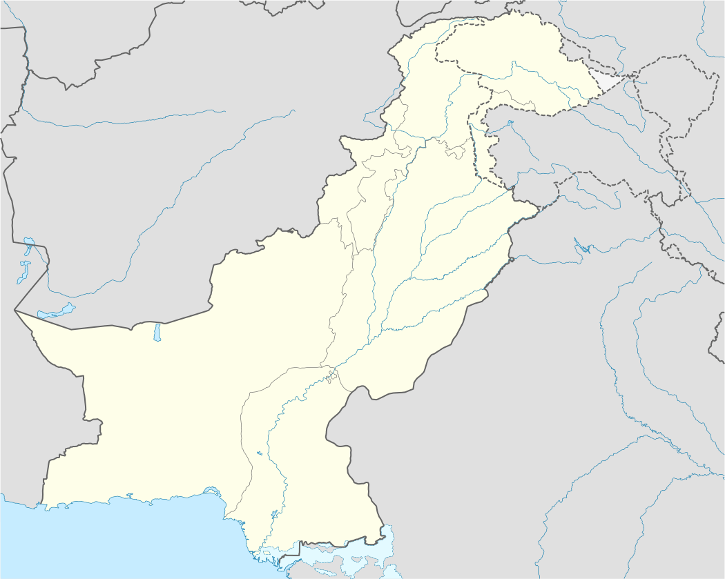 Green Town Location in Pakistan | |
| Coordinates: 31°26′08″N 74°18′27″E / 31.435609°N 74.307615°ECoordinates: 31°26′08″N 74°18′27″E / 31.435609°N 74.307615°E | |
| Country |
|
| Province | Punjab |
| City | Lahore |
| Government | |
| • Type | City Council |
| • Nazim | (Pakistan Muslim League (N)) |
| Area | |
| • Total | 8 km2 (3 sq mi) |
| Elevation | 217 m (712 ft) |
| Time zone | PKT (UTC+5) |
| Postal code | 54770 |
| Area code(s) | 042 |
| Website |
www |
Green Town is a residential area of Lahore, Pakistan. It was planned and constructed by the Lahore Development Authority (LDA).
Green Town contains several government and private schools, technical institutes, and colleges, as well as more than fifty parks. Some parts of Quaid-e-Azam's industrial estate are located in Green Town.
Education
There are several public and private elementary, middle, and high schools in Green Town. Punjab Vocational Training Institute has a branch in Green Town as well.
Green Town has a private university Riphah international University (Lahore campus) which offers undergraduate & post graduate programs in various fields like BBA (HONS) , Pham-D , Bsc etc. & Minhaj university Lahore run by Minhaj-ul-Qur'an. education rate in younger generations is somewhat improved.
Sports
Although other games are also played in the ares, cricket is the most popular. Green Town has an adjacent playground, which houses three cricket clubs and a football club. A number of snooker clubs and football clubs are also present in area.
Development
Recently many new developmental projects in Green Town have been started. The city government is currently in the process of rebuilding and expanding the roads and sewer systems. The cost of living is relevantly high in Green Town, as compared to other similar areas.

Transport
Public transit is the prevalent method of transportation in Green Town, and a number of public transport companies provide different routes to travel to and from the town. Green Town is connected with all major areas of the city via public transport.
Geography and climate
| Lahore | ||||||||||||||||||||||||||||||||||||||||||||||||||||||||||||
|---|---|---|---|---|---|---|---|---|---|---|---|---|---|---|---|---|---|---|---|---|---|---|---|---|---|---|---|---|---|---|---|---|---|---|---|---|---|---|---|---|---|---|---|---|---|---|---|---|---|---|---|---|---|---|---|---|---|---|---|---|
| Climate chart (explanation) | ||||||||||||||||||||||||||||||||||||||||||||||||||||||||||||
| ||||||||||||||||||||||||||||||||||||||||||||||||||||||||||||
| ||||||||||||||||||||||||||||||||||||||||||||||||||||||||||||
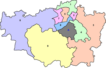
Green Town is bounded on the north and west by the Lahore township, on the east by Quaid-e-Azam Industrial Estate, and on the south by Bagriyan Village. Green Town covers a total land area of 8 km² approximately.
References
- ↑ "Weather information for Lahore". Retrieved January 9, 2009.