Greensted Green
| Greensted Green | |
 Greensted Green |
|
| Civil parish | Ongar |
|---|---|
| District | Epping Forest |
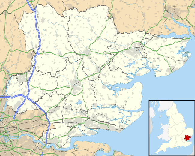
| Shire county | Essex |
| Region | East |
| Country | England |
| Sovereign state | United Kingdom |
| EU Parliament | East of England |
Coordinates: 51°42′18″N 0°12′40″E / 51.705°N 0.211°E
Greensted Green is hamlet in the Ongar civil parish of the Epping Forest District, in the English county of Essex. It is positioned at the western end of Greensted, slightly above 2 miles (4 kilometers) to the west of Chipping Ongar.
Name origin
The "Green" in the name "Greensted Green" refers to an area directly to the south of the Greensted road and the east of the Toot Hill road which was fenced off for agricultural use probably towards the end of the nineteenth century. The south western corner of the former green was for many years a marshy area at the confluence of various drainage ditches, but towards the end of the twentieth century it was dug out and extended, to create a small duck and (especially in winter) goose pond.
References
- A-Z Essex, 2010 edition. p. 66.