Gregory, Western Australia
| Gregory Western Australia | |
|---|---|
 Gregory | |
| Coordinates | 28°11′00″S 114°15′00″E / 28.18333°S 114.25000°ECoordinates: 28°11′00″S 114°15′00″E / 28.18333°S 114.25000°E |
| Population | 46 (2006 census)[1] |
| Established | 1853 |
| Postcode(s) | 6535 |
| Elevation | 6 m (20 ft) |
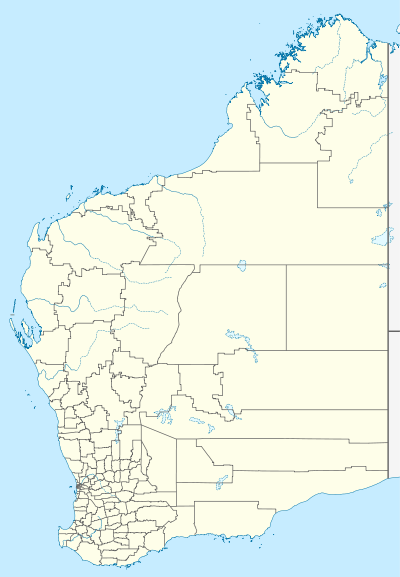
| Location |
|
| LGA(s) | Shire of Northampton |
| State electorate(s) | Moore |
| Federal Division(s) | Durack |
Gregory is a small town and fishing port in the Mid West region of Western Australia. At the 2006 census, Gregory had a population of 46 in 79 dwellings. Most of the dwellings are holiday houses. The population of Gregory fluctuates depending on tourism; with the town at full capacity during school holidays and throughout the summer. During the census (Tuesday 8 August) 68% of dwellings were unoccupied (national average 11%).[1]
Port Gregory, located close to the mouth of the Hutt River, was established in 1849 and named after brothers Augustus and Frank Gregory, two of Western Australia's most active explorers. In May 1853 sixty convicts and Pensioner Guards arrived from England via Fremantle in the ships Leander and GoldDigger. A townsite was gazetted in 1854 as Pakington near the shore with Lynton gazetted as the convict depot and townsite for the Guards inland on the Hutt River inland. The convicts were utilised for Government works and in establishing a road to the Murchison River and the Geraldine lead Mine, operated from 1849 to 1875. Ticket-of-leave men from the depot were hired out for work at the port and on nearby farms and stations.[2][3]
A major employer was Captain H. A. Sanford who as Magistrate for the region and the Superintendent of Convicts built an impressive homestead alongside Lynton. He resigned in 1854 and took up pastoral and whaling pursuits, establishing a whaling facility just north of the Pakington townsite. John Bateman and others also established whaling facilities nearby. The name Pakington was rarely used however and the name Port Gregory which is the harbour located next to the town, was more generally accepted. Initially the port was used by whalers and pastoralists and to ship lead ore and pig lead from the mines, notably the Geraldine mine. Salt from nearby Hutt Lagoon was shipped until the depression when the port and both the 'towns' became deserted.[3] In being unwilling to bombard the nearby port of Geraldton due to a large number of aircraft visible from his submarine, the Captain of Japanese submarine I-165 bombarded Port Gregory in January 1943 in the mistaken belief it was still occupied.[4] The bombardment was one example of German and Japanese attacks on Australia during World War II. There are many ship wrecks in the vicinity most caused by the unsuitability of the port for large vessels. These include trading and whaling vessels and an iron ship, the SS Xantho which sank after being overloaded with lead ore from the Geraldine mine.
The townsite changed its name to Gregory in 1967.[5]
References
- 1 2 Australian Bureau of Statistics (25 October 2007). "Gregory (State Suburb)". 2006 Census QuickStats. Retrieved 10 July 2011.
- ↑ "Geraldine Lead Mine Site". inHerit - State Heritage Office. Perth, WA: Shire of Northampton. 27 February 2016. Retrieved 15 April 2016.
- 1 2 McDonald, G. K., 1994. The Little Boat harbour: history of Port Gregory. WA Museum, Fremantle.
- ↑ Hiroyuki Agawa (nd). The reluctant Admiral: Yamamoto and the Imperial Navy. Kodansha international, Tokyo, p. 307.
- ↑ Western Australian Land Information Authority. "History of country town names – G". Retrieved 2008-10-27.