Grisvågøya
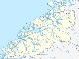 Grisvågøya Location in Møre og Romsdal | |
| Geography | |
|---|---|
| Location | Møre og Romsdal, Norway |
| Coordinates | 63°19′03″N 8°25′01″E / 63.3174°N 8.4170°ECoordinates: 63°19′03″N 8°25′01″E / 63.3174°N 8.4170°E |
| Area | 13.9 km2 (5.4 sq mi) |
| Highest elevation | 118 m (387 ft) |
| Highest point | Hiåsen |
| Administration | |
| County | Møre og Romsdal |
| Municipality | Aure |
Grisvågøya is an island in Aure Municipality in Møre og Romsdal county, Norway. The 13.9-square-kilometre (5.4 sq mi) island is located on the south side of the Edøyfjorden/Trondheimsleia. There are many islands around Grisvågøya including Skardsøya to the east, Ertvågsøya to the south, Edøya and Smøla to the west, and Hitra across the fjord to the north. The sparsely populated island of Grisvågøya has a bridge connecting it to Skardsøya to the east which has two different bridges that connect it to the mainland.[1]
See also
References
- ↑ Store norske leksikon. "Grisvågøya" (in Norwegian). Retrieved 2013-04-08.
This article is issued from Wikipedia - version of the 11/28/2016. The text is available under the Creative Commons Attribution/Share Alike but additional terms may apply for the media files.