Hålandsmarka
| Hålandsmarka | |
|---|---|
| Village | |
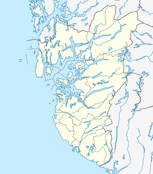 Hålandsmarka  Hålandsmarka Location in Rogaland county | |
| Coordinates: 58°51′04″N 05°34′34″E / 58.85111°N 5.57611°ECoordinates: 58°51′04″N 05°34′34″E / 58.85111°N 5.57611°E | |
| Country | Norway |
| Region | Western Norway |
| County | Rogaland |
| District | Jæren |
| Municipality | Sola |
| Area[1] | |
| • Total | 0.19 km2 (0.07 sq mi) |
| Elevation[2] | 62 m (203 ft) |
| Population (2015)[1] | |
| • Total | 995 |
| • Density | 5,237/km2 (13,560/sq mi) |
| Time zone | CET (UTC+01:00) |
| • Summer (DST) | CEST (UTC+02:00) |
| Post Code | 4053 Ræge |
Hålandsmarka is a village in Sola municipality in Rogaland county, Norway. The village is located in the southwestern part of the municipality, about 1 kilometre (0.62 mi) west of the village of Stenebyen. Hålandsmarka is known for a great seaside view of most of the Rogaland coastline, on good days you will be able to see areas as far as 70 kilometres (43 mi) away.[3]
The 0.19-square-kilometre (47-acre) village has a population (2015) of 995, giving the village a population density of 5,237 inhabitants per square kilometre (13,560/sq mi).[1]
Currently, Hålandsmarka is entirely a residential village, with no commercial or industrial areas. Most inhabitants work in the nearby village of Solakrossen and the Stavanger Airport since they are located a short distance to the north.
References
- 1 2 3 Statistisk sentralbyrå (1 January 2015). "Urban settlements. Population and area, by municipality.".
- ↑ "Hålandsmarka, Sola (Rogaland)" (in Norwegian). yr.no. Retrieved 2016-05-11.
- ↑ Store norske leksikon. "Hålandsmarka" (in Norwegian). Retrieved 2016-05-11.