Hæen
| Hæen Stokkalandsmarka | |
|---|---|
| Village | |
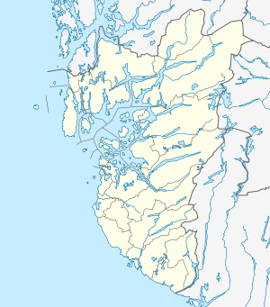 Hæen  Hæen Location in Rogaland county | |
| Coordinates: 58°33′45″N 05°44′21″E / 58.56250°N 5.73917°ECoordinates: 58°33′45″N 05°44′21″E / 58.56250°N 5.73917°E | |
| Country | Norway |
| Region | Western Norway |
| County | Rogaland |
| District | Jæren |
| Municipality | Hå |
| Area[1] | |
| • Total | 0.43 km2 (0.17 sq mi) |
| Elevation[2] | 107 m (351 ft) |
| Population (2015)[1] | |
| • Total | 588 |
| • Density | 1,367/km2 (3,540/sq mi) |
| Time zone | CET (UTC+01:00) |
| • Summer (DST) | CEST (UTC+02:00) |
| Post Code | 4362 Vigrestad |
Hæen or Stokkalandsmarka is a village in Hå municipality in Rogaland county, Norway. The village is located between the villages of Vigrestad and Brusand. The Sørlandsbanen railway line runs along the south side of the village. The village is known as Hæen, but it is known locally as Stokkalandsmarka. The name Hæen is used by Statistics Norway, but rarely used locally.[3] The 0.43-square-kilometre (110-acre) village has a population (2015) of 588, giving the village a population density of 1,367 inhabitants per square kilometre (3,540/sq mi).[1]
The municipal government of Hå has expressed a desire to get as much population growth in the municipality as possible to be centred between Hæen and Brusand to the southeast. There are two reasons for this desire:[4]
- To balance the population in the municipality and not only have high population in the northern villages of Nærbø and Varhaug, but to increase growth in the south.
- The Hæen area is well-suited for building houses, since this area does not have the best agricultural land in Hå. Expanding the other villages in Hå would mean giving up some very good agricultural land.
References
- 1 2 3 Statistisk sentralbyrå (1 January 2015). "Urban settlements. Population and area, by municipality.".
- ↑ "Hæen, Hå (Rogaland)" (in Norwegian). yr.no. Retrieved 2016-06-21.
- ↑ Store norske leksikon. "Hæen" (in Norwegian). Retrieved 2016-06-21.
- ↑ "Planbeskrivelse plan 1133. Detaljregulering For Bustadområdet Stokkalandsmarka Aust" (PDF) (in Norwegian). Hå kommune. 2015-03-26. Retrieved 2016-06-21.