Höchstberg (Eifel)
| Höchstberg | |
|---|---|
 Höchstberg | |
| Highest point | |
| Elevation | 616.4 m above sea level (NHN) |
| Coordinates | 50°14′16″N 7°02′20″E / 50.237639°N 7.038861°ECoordinates: 50°14′16″N 7°02′20″E / 50.237639°N 7.038861°E |
| Geography | |
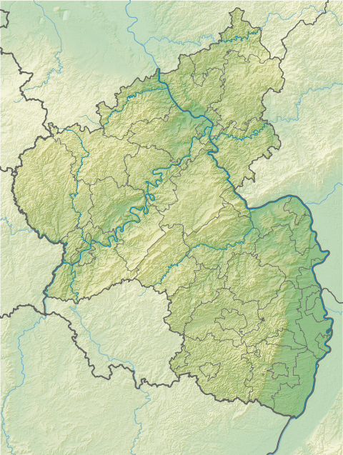
| Location |
Rhineland-Palatinate, |
| State/Province | DE-RP |
| Parent range | Volcanic Eifel, Eifel Mountains |
The Höchstberg is a mountain, 616.4 m, in the Volcanic Eifel region of the Eifel mountains, in the German state of Rhineland-Palatinate. It rises within the Elzbach Heights.
There is a basalt quarry on the mountain at a height of about 539 metres above sea level.
Three streams rise on the mountain: the Ahlsbach, the Eppertsbach and the Lessierbach.
Nearby is the eponymous village of Höchstberg.
External links
This article is issued from Wikipedia - version of the 3/21/2016. The text is available under the Creative Commons Attribution/Share Alike but additional terms may apply for the media files.