Høgafjellet
| Høgafjellet | |
|---|---|
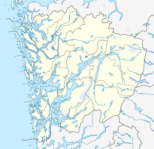 Høgafjellet Location in Hordaland | |
| Highest point | |
| Elevation | 868 m (2,848 ft) |
| Prominence | 868 m (2,848 ft) |
| Isolation | 5.21 kilometres (3.24 mi) |
| Coordinates | 60°36′56″N 05°40′35″E / 60.61556°N 5.67639°ECoordinates: 60°36′56″N 05°40′35″E / 60.61556°N 5.67639°E |
| Geography | |
| Location | Hordaland, Norway |
| Climbing | |
| Easiest route | Hiking |
Høgafjellet is a mountain on the island of Osterøy in Hordaland county, Norway. Høgafjellet sits on the border between the municipalities of Osterøy and Vaksdal, about 8 kilometres (5.0 mi) east of the village of Fotlandsvåg and about 2 kilometres (1.2 mi) west of the Veafjorden. The 868-metre (2,848 ft) tall mountain is the highest mountain on the island and in all of Osterøy municipality.[1]
References
- ↑ Arnt Flatmo. "Hordaland Mountains - Route Descriptions - Høgafjellet" (in Norwegian). Westcoastpeaks.com. Retrieved 2008-09-11.
This article is issued from Wikipedia - version of the 9/7/2015. The text is available under the Creative Commons Attribution/Share Alike but additional terms may apply for the media files.