Haima Airport
| Haima Airport | |||||||||||
|---|---|---|---|---|---|---|---|---|---|---|---|
| IATA: none – ICAO: OOHA | |||||||||||
| Summary | |||||||||||
| Airport type | Public | ||||||||||
| Serves | Haima | ||||||||||
| Elevation AMSL | 400 ft / 122 m | ||||||||||
| Coordinates | 19°58′30″N 56°17′00″E / 19.97500°N 56.28333°ECoordinates: 19°58′30″N 56°17′00″E / 19.97500°N 56.28333°E | ||||||||||
| Map | |||||||||||
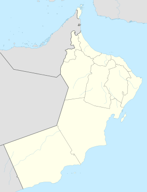 OOHA Location of the airport in Oman | |||||||||||
| Runways | |||||||||||
| |||||||||||
|
Source: Google Maps[1] | |||||||||||
Haima (ICAO: OOHA ) is an airport serving the town of Haima in Oman.
See also
 Aviation portal
References
- OurAirports - Oman
- Great Circle Mapper - Haima
- Haima
- Google Earth
This article is issued from Wikipedia - version of the 11/8/2016. The text is available under the Creative Commons Attribution/Share Alike but additional terms may apply for the media files.