Haines City MPS
|
Haines City MPS | |
  | |
| Location | Haines City, Florida |
|---|---|
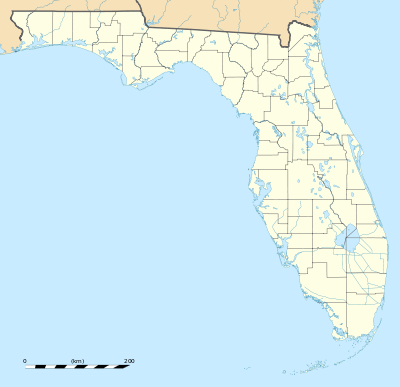
| Coordinates | 28°6′42″N 81°37′43″W / 28.11167°N 81.62861°WCoordinates: 28°6′42″N 81°37′43″W / 28.11167°N 81.62861°W |
| MPS | Historic and Architectural Resources of Haines City |
| NRHP Reference # | 64500108 |
The following buildings were added to the National Register of Historic Places as part of the Haines City Multiple Property Submission (or MPS).
| Resource Name | Also known as | Address | City | Added |
| Old Central Grammar School | 801 Ledwith Avenue | Haines City | March 17, 1994 | |
| Downtown Haines City Commercial District | Roughly bounded by Hinson and Ingraham Avenues, and 4th and 7th Streets | Haines City | March 7, 1994 | |
| Old Haines City National Guard Armory | 226 South 6th Street | Haines City | March 2, 1994 | |
| Polk Hotel | 800-810 Hinson Avenue | Haines City | March 17, 1994 | |
| St. Mark's Episcopal Church | 102 North 9th Street | Haines City | March 17, 1994 |
Notes
This article is issued from Wikipedia - version of the 11/28/2016. The text is available under the Creative Commons Attribution/Share Alike but additional terms may apply for the media files.