Hajia Gali
| Hajia Gali | |
|---|---|
 Hajia Gali | |
| Coordinates: 34°00′53″N 73°12′35″E / 34.01474787°N 73.20969343°E | |
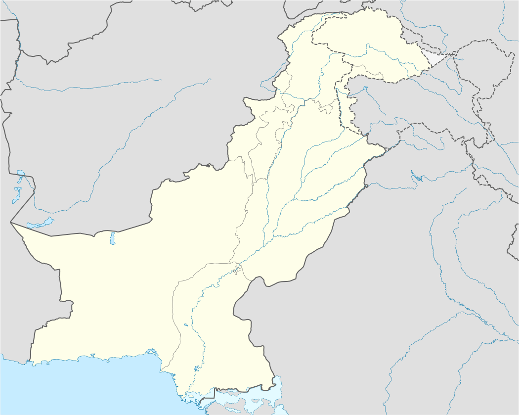
| Country |
|
| Province | Khyber-Pakhtunkhwa |
| District | Abbottabad |
| Tehsil | Havelian |
| Union Council | Nara |
| Government | |
| • Nazim | Sajjad |
| • Naib Nazim | Saleem Akhtar |
| Population | |
| • Total | 4,000-5,000 |

Hajia Gali is a village in the Abbottabad District of Khyber Pakhtunkhwa province of Pakistan. It is located 25 kilometers south of the city of Abbottabad, 25 kilometers south west of Nathia Gali, 35 kilometers north west of the hill station of Murree and 70 kilometers north of the capital Islamabad . The village pre dominantly homes the Karlal tribe. The main sources of income of the inhabitants of the village are agriculture, trade of cattle and other commodities as well as cattle grazing. A segment of the population has moved out of the village for greener pastures and has settled in nearby towns and cities, mostly in and around the cities of Abbottabad, Haripur and Rawalpindi. The village hosts a Government school for boys as well as girls but no institute for higher education is available. Therefore, it is not uncommon seeing students leaving the village for higher education.