Hama Military Airport
| Hama Military Airport مطار حماة العسكري  | |||||||||||
|---|---|---|---|---|---|---|---|---|---|---|---|
| IATA: OS58 – ICAO: none | |||||||||||
| Summary | |||||||||||
| Airport type | Military | ||||||||||
| Owner | Syrian Armed Forces | ||||||||||
| Operator | Syrian Arab Air Force | ||||||||||
| Location | Hama, Hama Governorate | ||||||||||
| In use | Present | ||||||||||
| Elevation AMSL | 1,014 ft / 309 m | ||||||||||
| Coordinates | 35°07′05″N 36°42′40″E / 35.118156°N 36.711186°ECoordinates: 35°07′05″N 36°42′40″E / 35.118156°N 36.711186°E | ||||||||||
| Map | |||||||||||
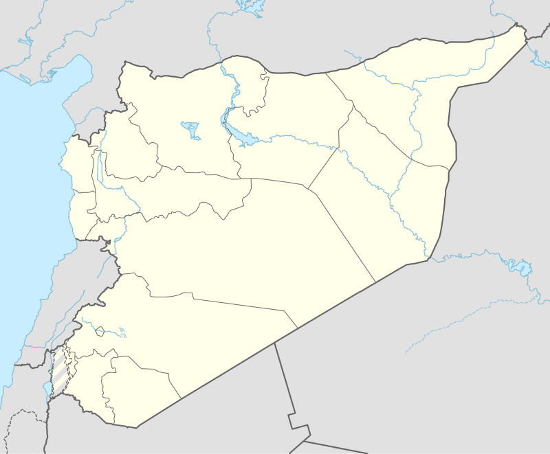 Hama Military Airport Location in Syria | |||||||||||
| Runways | |||||||||||
| |||||||||||
Hama Military Airport (Arabic: مطار حماة العسكري) (IATA: OS58) is a military airport. located in west of Hama, Syria.
Facilities
The airport resides at an elevation of 1,014 feet (309 m) above mean sea level. It has one asphalt paved runway, which measures 2,783 by 45.5 metres (9,131 ft × 149 ft).[1]
During Syrian Civil War
The airbase was used extensively by the Syrian Arab Air Force during the Syrian Civil War.
References
- 1 2 Airport information for OSDZ from DAFIF (effective October 2006)
- ↑ Airport information for OS58 at Great Circle Mapper. Source: DAFIF (effective October 2006).
See also
This article is issued from Wikipedia - version of the 8/5/2016. The text is available under the Creative Commons Attribution/Share Alike but additional terms may apply for the media files.