Harana, Rajgarh
| Harana हराना | |
|---|---|
| Village | |
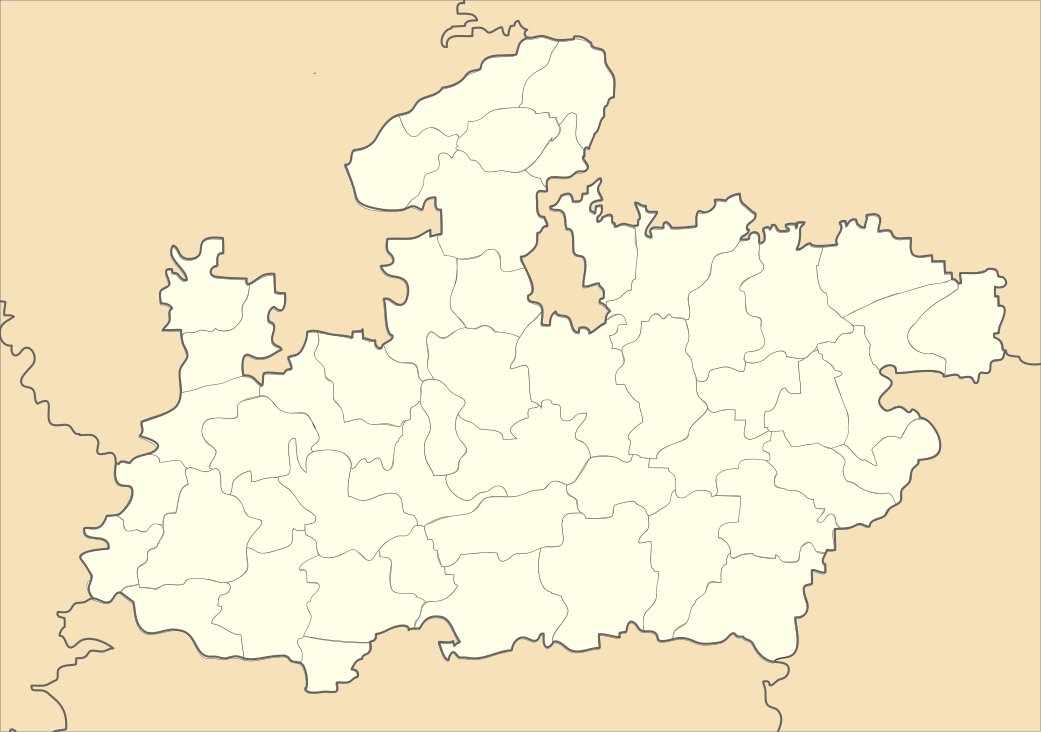 Harana  Harana Location in Madhya Pradesh, India | |
| Coordinates: 23°46′04″N 76°31′42″E / 23.767901°N 76.528384°ECoordinates: 23°46′04″N 76°31′42″E / 23.767901°N 76.528384°E | |
| Country |
|
| State | Madhya Pradesh |
| District | Rajgarh |
| Tehsil/Block | Sarangpur |
| Government | |
| • Type | Gram Panchayat |
| • Sarpanch Harana | Ram Vilas Nagar |
| Elevation | 9.20 m (30.18 ft) |
| Population (2011) | |
| • Total | 2,471 |
| Languages | |
| • Official | Hindi |
| Time zone | IST (UTC+5:30) |
| PIN | 465687 |
| Telephone code | 07371 |
| Vehicle registration | MP 39 |
| Sex ratio | 1000/964 ♂/♀ |
Harana (Hindi: हराना) is a village in Rajgarh district in the state of Madhya Pradesh in India. It belongs to Bhopal Division.
Geography
It is located 41 km towards South from District headquarters Rajgarh. 25 km from Sarangpur. 124 km from State capital Bhopal. Nearby villages to Harana include Panda (3 km), Bhatkhedi (7 km), Dhamanda (8 km), Bhumka (9 km), Simrol (10 km). Harana is surrounded by Nalkheda Tehsil towards the West, Moman Badodia Tehsil towards the South, Khilchipur Tehsil towards the North, and Zirapur Tehsil towards the East. Nearby cities include Sarangpur, Pachore, Shujalpur, and Shajapur.
This place is in the border of the Rajgarh District and Shajapur District. Shajapur District Moman Badodia is South towards this place .
Demographics
As of 2011 India census, Harana had a population of 2,471. Males constitute 51% of the population and females 49%. Harana has an average literacy rate of 57.79%, lower than the state average of 69.32%: male literacy is 75.66%, and female literacy is 39.52%. In Harana, 12.18% of the population is under 6 years of age.[1]
Religious/Devotional places around Harana
- Bijashan mata Temple Bhaiswa
- Hanuman Mandir Leema chouhan
- Hanuman Mandir Bhatkhedi
- Narsinghgarh Town
- Shyamji Sanka Temple
- Jalpamata Temple
- Dargah Shareif
- Chidikho
- Biora Mandu
- Kotra
- Khoiry Mahadev Temple
- Habban Valley
- Shringul Temple
Nearby villages
- Darana
- Devipura
- Panda
- Baoli
- Sumriahedi
- Arania
- Kalali
- Patadiya Dabi
- Amlawata
- Pipalya Pal
- Babadlya
Schools in Harana
References
- ↑ "Population per Census India". censusindia.gov.in.
- ↑ "Nearby Villages of Harana". villageinfo.in.
- ↑ "Government Middle School Harana". allindiafacts.com.
- ↑ "Government High School Harana". educationportal.mp.gov.in.