Harper's Grove – Lord's Grove
| Site of Special Scientific Interest | |
|
Upper Beaulieu Farm and Lord's Grove | |
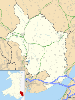 Location within Monmouthshire | |
| Area of Search | Monmouthshire |
|---|---|
| Grid reference | SO528113 |
| Coordinates | 51°47′55″N 2°41′05″W / 51.7987°N 2.6848°WCoordinates: 51°47′55″N 2°41′05″W / 51.7987°N 2.6848°W |
| Interest | Biological |
| Area | 22.2 hectares (0.222 km2; 0.0857 sq mi) |
| Notification | 1981 |

Harper's Grove – Lord's Grove is a Site of Special Scientific Interest (SSSI), noted for its biological characteristics, in Monmouthshire, south east Wales.[1]
Geography
The 22.2-hectare (55-acre) SSSI, notified in 1981, is located within the community of Monmouth, being 1.5 miles (2.4 km) south-west of the town of the same name.[2][3]
Gallery
-

Entrance to Harper's Grove from Kymin Road
-

Rocks within Harper's Grove
-

Flora of Harper's Grove
-

Footpath within Harper's Grove
-

Birdbox on tree in Harper's Grove
References
- ↑ "Harper's Grove – Lord's Grove". Countryside Council for Wales. Retrieved 21 March 2012.
- ↑ "Harper's Grove – Lord's Grove map" (pdf). Countryside Council for Wales. Retrieved 21 March 2012.
- ↑ Ordnance Survey: Explorer map sheet OL14 Wye Valley & Forest of Dean ISBN 9780319240953
This article is issued from Wikipedia - version of the 8/20/2013. The text is available under the Creative Commons Attribution/Share Alike but additional terms may apply for the media files.