Harrison County Airport (Ohio)
| Harrison County Airport | |||||||||||
|---|---|---|---|---|---|---|---|---|---|---|---|
| IATA: none – ICAO: none – FAA LID: 8G6 | |||||||||||
| Summary | |||||||||||
| Airport type | Public | ||||||||||
| Owner | Harrison County Airport Authority | ||||||||||
| Serves | Cadiz, Ohio | ||||||||||
| Elevation AMSL | 1,174 ft / 358 m | ||||||||||
| Coordinates | 40°14′18″N 081°00′46″W / 40.23833°N 81.01278°WCoordinates: 40°14′18″N 081°00′46″W / 40.23833°N 81.01278°W | ||||||||||
| Map | |||||||||||
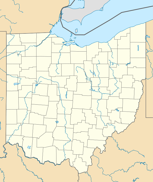 8G6  8G6 Location of airport in Ohio/United States | |||||||||||
| Runways | |||||||||||
| |||||||||||
| Statistics (2010) | |||||||||||
| |||||||||||
Harrison County Airport (FAA LID: 8G6) is a public use airport located two nautical miles (4 km) south of the central business district of Cadiz, a village in Harrison County, Ohio, United States. It is owned by the Harrison County Airport Authority.[1] This airport is included in the National Plan of Integrated Airport Systems for 2011–2015, which categorized it as a general aviation facility.[2]
Facilities and aircraft
Harrison County Airport covers an area of 8 acres (3 ha) at an elevation of 1,174 feet (358 m) above mean sea level. It has one runway designated 13/31 with an asphalt surface measuring 3,765 by 75 feet (1,148 x 23 m).[1]
For the 12-month period ending August 30, 2010, the airport had 11,900 aircraft operations, an average of 32 per day: 96% general aviation, 3% air taxi, and <1% military. At that time there were 25 aircraft based at this airport: 92% single-engine, 4% glider, and 4% ultralight.[1]
References
- 1 2 3 4 FAA Airport Master Record for 8G6 (Form 5010 PDF). Federal Aviation Administration. Effective May 31, 2012.
- ↑ "2011–2015 NPIAS Report, Appendix A" (PDF, 2.03 MB). National Plan of Integrated Airport Systems. Federal Aviation Administration. October 4, 2010. External link in
|work=(help)
External links
- Aerial image as of April 1994 from USGS The National Map
- FAA Terminal Procedures for 8G6, effective November 10, 2016
- Resources for this airport:
- FAA airport information for 8G6
- AirNav airport information for 8G6
- FlightAware airport information and live flight tracker
- SkyVector aeronautical chart for 8G6