Hatt, Cornwall
| Hatt | |
 The Holland Inn, Hatt, now The Cardinals |
|
 Hatt |
|
| OS grid reference | SX395620 |
|---|---|
| Unitary authority | Cornwall |
| Ceremonial county | Cornwall |
| Region | South West |
| Country | England |
| Sovereign state | United Kingdom |
| EU Parliament | South West England |
Coordinates: 50°26′10″N 4°15′40″W / 50.436°N 4.261°W
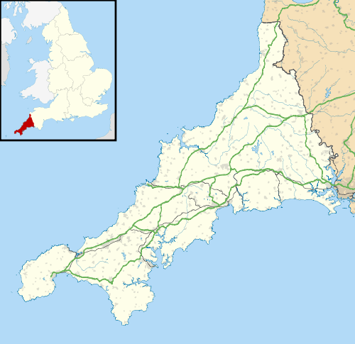
Hatt is a village in Cornwall, England, UK. It is on the A388 road from Callington to Saltash.[1] Hatt House was built of red brick about 1720 and is of two and a half storeys.[2]
References
Cornwall Portal | |
| Unitary authorities | |
| Major settlements |
|
| Rivers | |
| Topics | |
This article is issued from Wikipedia - version of the 9/12/2016. The text is available under the Creative Commons Attribution/Share Alike but additional terms may apply for the media files.