Hemswell
| Hemswell | |
 All Saints Church, Hemswell |
|
 Hemswell |
|
| Population | 309 (2001) |
|---|---|
| OS grid reference | SK930909 |
| – London | 130 mi (210 km) S |
| District | West Lindsey |
| Shire county | Lincolnshire |
| Region | East Midlands |
| Country | England |
| Sovereign state | United Kingdom |
| Post town | Gainsborough |
| Postcode district | DN21 |
| Police | Lincolnshire |
| Fire | Lincolnshire |
| Ambulance | East Midlands |
| EU Parliament | East Midlands |
| UK Parliament | Gainsborough |
|
|
Coordinates: 53°24′26″N 0°36′07″W / 53.407168°N 0.601896°W
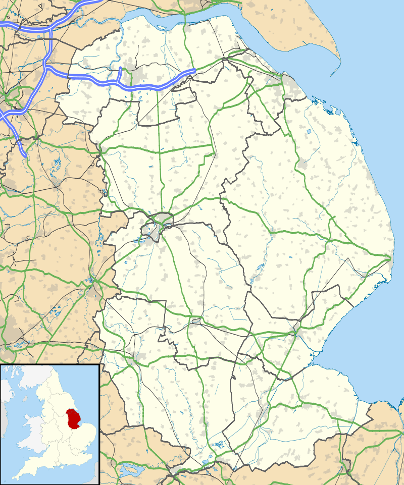
Hemswell is a village and civil parish in the West Lindsey district of Lincolnshire, England. It is situated just north of the A631 on the Lincoln Cliff escarpment, 2 miles (3 km) west from Caenby Corner and 7 miles (11 km) east from Gainsborough. According to the 2001 Census it had a population of 309.
In Domesday Hemswell is written as “Helmeswelle”,[1] a settlement of 37 households,[2] which before 1086 was under the lordship of Earl Edwin.[3]
Aerial photographs have shown ancient medieval settlement on the edge of the village, and 18th-century enclosure maps indicate a larger village area than now exists and the site of a medieval church. earthworks have been defined through crop markings and hollow ways, ditched enclosures, embankments and foundations of buildings that indicate the existence of crofts.[4]

Hemswell Grade II* listed Anglican parish church is dedicated to All Saints.[5] Originating in the 13th century it was partially rebuilt in 1764, when a new tower was added, and in 1858, when the rest of the church was replaced. An internal Early English three-bay north arcade remains, as does a 13th-century Decorated sedilia on the south wall of the chancel.[6] The font bears the arms of the Monson family.[7] A further listed church, St Edmund’s on Spital-in-the-Street Road, is a converted 16th-century quarter sessions court house.[8]
Opposite the churchyard is a 19th-century maypole of wood and wrought iron with painted red white and blue stripes.[6][9] It is one of the oldest in England, and danced round each May Day during the village May Day Fete. On Church Street is the listed early 19th-century Post Office,[10] now non-operational, and Manor Farmhouse, originally 17th-century.[11] On Spital-in-the-Street Road is the early 17th-century Spital Almshouse, now a cottage, and its barn, previously a hospice.[12][13]
RAF Hemswell was located just outside the village from 1937 until it closed in 1967. The site and buildings were subsequently redeveloped into a private trading estate which became the new civil parish of Hemswell Cliff.
References
- ↑ Hemswell, The National Archives. Retrieved 15 October 2011
- ↑ Lincolnshire, Page 6, Domesdaymap.co.uk. Retrieved 15 October 2011
- ↑ Earl Edwin, Domesdaymap.co.uk. Retrieved 15 October 2011
- ↑ Historic England. "Hemswell Medieval Settlement Earthworks (1033406)". PastScape. Retrieved 15 October 2011.
- ↑ Historic England. "Church of All Saints (1166242)". National Heritage List for England. Retrieved 15 October 2011.
- 1 2 Pevsner, Nikolaus; Harris, John; The Buildings of England: Lincolnshire p. 273; Penguin, (1964); revised by Nicholas Antram in 1989, Yale University Press. ISBN 0-300-09620-8
- ↑ Cox, J. Charles (1916) Lincolnshire p. 165; Methuen & Co. Ltd.
- ↑ Historic England. "Church of St Edmund (1063353)". National Heritage List for England. Retrieved 15 October 2011.
- ↑ Historic England. "Maypole, Church Street (1063352)". National Heritage List for England. Retrieved 15 October 2011.
- ↑ Historic England. "The Old Post Office, Church Street (1166218)". National Heritage List for England. Retrieved 15 October 2011.
- ↑ Historic England. "Manor Farmhouse (1359852)". National Heritage List for England. Retrieved 15 October 2011.
- ↑ Historic England. "Spital Almshouse (1308942)". National Heritage List for England. Retrieved 15 October 2011.
- ↑ Historic England. "Barn at Spital Almshouse (1359815)". National Heritage List for England. Retrieved 15 October 2011.
External links
 Media related to Hemswell at Wikimedia Commons
- "Hemswell", Genuki.org.uk. Retrieved 14 October 2011
- Hemswell Parish Council, Parishes.lincolnshire.gov.uk. Retrieved 14 October 2011
England Portal | |
| Unitary authorities | |
| Boroughs or districts | |
| Major settlements |
|
| Topics | |