Herning Airport
| Herning Airport Herning Flyveplads | |||||||||||||||
|---|---|---|---|---|---|---|---|---|---|---|---|---|---|---|---|
| IATA: none – ICAO: EKHG | |||||||||||||||
| Summary | |||||||||||||||
| Airport type | Public | ||||||||||||||
| Location | Herning, Denmark | ||||||||||||||
| Elevation AMSL | 167 ft / 51 m | ||||||||||||||
| Coordinates | 56°11′05″N 009°02′40″E / 56.18472°N 9.04444°ECoordinates: 56°11′05″N 009°02′40″E / 56.18472°N 9.04444°E | ||||||||||||||
| Website | www.ekhg.dk | ||||||||||||||
| Map | |||||||||||||||
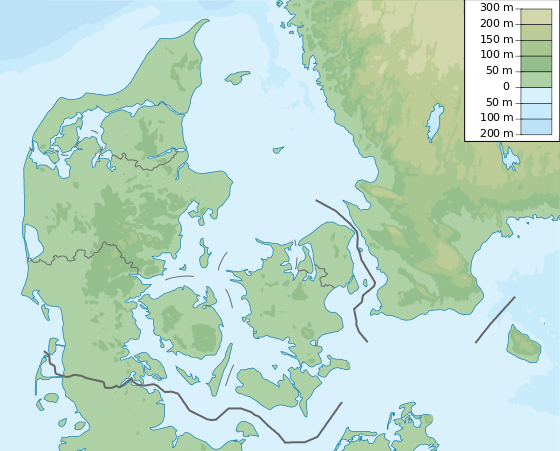
 EKHG Location of airport in Denmark | |||||||||||||||
| Runways | |||||||||||||||
| |||||||||||||||
Herning Airport (Danish: Herning Flyveplads[1] or Herning Lufthavn[3]) (ICAO: EKHG) is an airport located 3.8 nautical miles (7.0 km; 4.4 mi) north-northeast of Herning,[1] a city in Herning Municipality (Herning Kommune), Central Denmark Region (Region Midtjylland), Denmark.
Facilities
The airport resides at an elevation of 167 feet (51 m) above mean sea level.[1] It has two runways: 09/27 with an asphalt surface measuring 1,199 by 30 metres (3,934 ft × 98 ft) and 15/33 with a grass surface measuring 667 by 30 metres (2,188 ft × 98 ft).[1]
References
- 1 2 3 4 5 "Herning - EKHG". AIP Denmark. Statens Luftfartsvæsen.
- ↑ "Herning - EKHG". VFR Flight Guide Denmark. Statens Luftfartsvæsen.
- ↑
External links
This article is issued from Wikipedia - version of the 12/4/2016. The text is available under the Creative Commons Attribution/Share Alike but additional terms may apply for the media files.