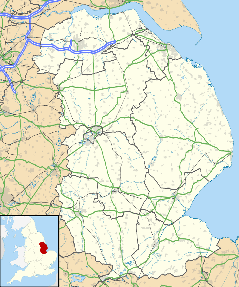
Highall Wood
| Highall Wood | |
|---|---|
 | |
| Location | Lincolnshire, England |
| Coordinates | 53°10′23″N 0°10′42″W / 53.17306°N 0.17833°WCoordinates: 53°10′23″N 0°10′42″W / 53.17306°N 0.17833°W |
Highall Wood is a woodland to the north east of the village of Woodhall Spa, Lincolnshire. It is bordered by Park Plantation to the east and White Hall Wood to the south.
Two small streams; Reed's Beck to the south and Odd's Beck to the north also run along its edges and drain the woodland.
A Public Bridleway between Woodhall Spa and Martin runs along the eastern edge.
This article is issued from Wikipedia - version of the 10/24/2016. The text is available under the Creative Commons Attribution/Share Alike but additional terms may apply for the media files.