Hohenfelden
| Hohenfelden | |
|---|---|
 Hohenfelden | |
Location of Hohenfelden within Weimarer Land district 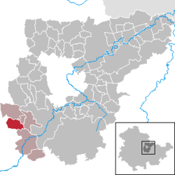 | |
| Coordinates: 50°52′43″N 11°9′39″E / 50.87861°N 11.16083°ECoordinates: 50°52′43″N 11°9′39″E / 50.87861°N 11.16083°E | |
| Country | Germany |
| State | Thuringia |
| District | Weimarer Land |
| Municipal assoc. | Kranichfeld |
| Government | |
| • Mayor | Thomas Morche |
| Area | |
| • Total | 8.43 km2 (3.25 sq mi) |
| Population (2015-12-31)[1] | |
| • Total | 370 |
| • Density | 44/km2 (110/sq mi) |
| Time zone | CET/CEST (UTC+1/+2) |
| Postal codes | 99448 |
| Dialling codes | 036450 |
| Vehicle registration | AP |
| Website | www.hohenfelden.de |
Hohenfelden is a municipality in the Weimarer Land district of Thuringia, Germany.
History
Within the German Empire (1871–1918), the northern part of Hohenfelden belonged to the Grand Duchy of Saxe-Weimar-Eisenach, while the southern part belonged to the Duchy of Saxe-Meiningen.
References
This article is issued from Wikipedia - version of the 5/31/2016. The text is available under the Creative Commons Attribution/Share Alike but additional terms may apply for the media files.