Hopedale Airport
| Hopedale Airport | |||||||||||
|---|---|---|---|---|---|---|---|---|---|---|---|
 | |||||||||||
| IATA: YHO – ICAO: CYHO | |||||||||||
| Summary | |||||||||||
| Airport type | Public | ||||||||||
| Operator | Government of Newfoundland and Labrador | ||||||||||
| Location | Hopedale, Newfoundland and Labrador | ||||||||||
| Time zone | AST (UTC−04:00) | ||||||||||
| • Summer (DST) | ADT (UTC−03:00) | ||||||||||
| Elevation AMSL | 46 ft / 14 m | ||||||||||
| Coordinates | 55°26′56″N 060°13′41″W / 55.44889°N 60.22806°WCoordinates: 55°26′56″N 060°13′41″W / 55.44889°N 60.22806°W | ||||||||||
| Map | |||||||||||
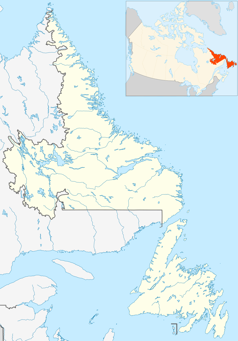 CYHO Location in Newfoundland and Labrador | |||||||||||
| Runways | |||||||||||
| |||||||||||
|
Source: Canada Flight Supplement[1] | |||||||||||
Hopedale Airport (IATA: YHO, ICAO: CYHO) is 1 nautical mile (1.9 km; 1.2 mi) west of Hopedale, Newfoundland and Labrador, Canada.
The airport was built in the 1960s to provide air support for Hopedale Air Station, a joint USAF-RCAF station. After the military left in 1968, the airport became a civilian airfield.
Facilities
A large pre-fabricated building acts as a terminal building, but there are no other structures and the airfield.
Fuel cans litter the airfield and snow plow blades are store outside on the tarmac.
There is no FBO at the airfield, thus no fuel available for aircraft landing at the airport. There is no control tower at the airport, so radio communication is made with Halifax Radio (Flight service station) and ATC is supported by Gander Centre.
Airlines and destinations
| Airlines | Destinations |
|---|---|
| Air Labrador | Goose Bay, Makkovik, Nain, Natuashish, Postville, Rigolet |
| Provincial Airlines | Goose Bay, Makkovik, Nain, Natuashish, Postville, Rigolet |
All commercial flights out of Hopedale Airport are operated by de Havilland DHC-6 Twin Otter 19-seat aircraft.
References
- ↑ Canada Flight Supplement. Effective 0901Z 15 September 2016 to 0901Z 10 November 2016
External links
- Page about this airport on COPA's Places to Fly airport directory
| By name | |
|---|---|
| By location indicator | |
| By province/territory | |
| By region | |
| National Airports System | |
| Related | |
| |