Horvat Galil
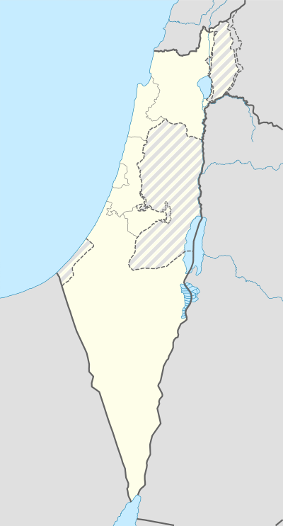 Shown within Israel | |
| Location | Israel |
|---|---|
| Coordinates | 33°02′30″N 35°14′53″E / 33.041622°N 35.247961°E |
| Type | Tell |
| History | |
| Material | Stone |
| Site notes | |
| Excavation dates | 1986 |
| Archaeologists |
Avi Gopher I. Hershkovitz |
| Public access | yes |
Horvat Galil is an archaeological site in the Upper Galilee, Israel, 13 kilometres (8.1 mi) from the coast of the Mediterranean.[1]
It was first excavated in 1986 by Professors Avi Gopher and Israel Hershkovitz and consisted of an upper Byzantine layer over a more extensive PPNB layer with which the excavations were primarily concerned.[2] 60 square metres (650 sq ft) were initially exposed and dwellings of mud bricks and lime plaster floors were examined. Several burials were found beneath the floors of the dwellings. The lithic assemblage at the site included Helwan, Byblos, Sultanian and even Aswad points and finely denticulated sickle blades, indicating an early pre-pottery inhabitation that is one of the most northern to have been excavated in Israel. Although the site has not been radiocarbon dated, sites with similar sets of tools such as Mujahia and burial customs have been dated to the second half of the 8th millennium BC.[3]
Further reading
- Gopher, A., Horvat Galil and Nahal Beset I: Two Neolithic Sites in the Upper Galilee . Mitekufat Haeven, Journal or the Israel Prehistoric Society Vol. 22:82-92, 1989.
- Gopher, A., Horvat Galil - An Early PPNB site in the Upper Galilee, Israel. Tel Aviv, Journal of the Institute of Archaeology Tel Aviv University 24 (2):183-222, 1997.
References
- ↑ Ofer Bar-Yosef; Eitan Tchernov; Avi Gopher (1997). An early neolithic village in the Jordan Valley. Peabody Museum of Archaeology and Ethnology, Harvard University. ISBN 978-0-87365-547-7. Retrieved 24 March 2011.
- ↑ Avi Gopher (November 1994). Arrowheads of the neolithic Levant: a seriation analysis. Eisenbrauns. pp. 14–. ISBN 978-0-931464-76-8. Retrieved 24 March 2011.
- ↑ Hershkovitz, I. and Gopher, A., Human burials from Horvat Galil: A PPNB site in the Upper Galilee Israel . Paléorient 14/1:119-126, 1988.