Houston County Airport (Tennessee)
| Houston County Airport | |||||||||||
|---|---|---|---|---|---|---|---|---|---|---|---|
| IATA: none – ICAO: none – FAA LID: M93 | |||||||||||
| Summary | |||||||||||
| Airport type | Public | ||||||||||
| Owner | Houston County | ||||||||||
| Location | McKinnon, Tennessee | ||||||||||
| Elevation AMSL | 370 ft / 113 m | ||||||||||
| Coordinates | 36°19′00″N 087°55′00″W / 36.31667°N 87.91667°W | ||||||||||
| Map | |||||||||||
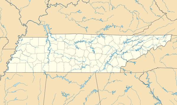 M93 Location of airport in Tennessee | |||||||||||
| Runways | |||||||||||
| |||||||||||
| Statistics (1999) | |||||||||||
| |||||||||||
Houston County Airport (FAA LID: M93) is a public airport located in McKinnon, in Houston County, Tennessee, United States. It is owned by Houston County.[1]
Facilities and aircraft
Houston County Airport covers an area of 84 acres (34 ha) which contains one asphalt paved runway, 8/26, measuring 3,000 x 75 ft (914 x 23 m).[1]
For the 12-month period ending December 27, 1999, the airport had 1,730 aircraft operations: 86% general aviation and 14% military.[1]
References
External links
- Resources for this airport:
- FAA airport information for M93
- AirNav airport information for M93
- FlightAware airport information and live flight tracker
- SkyVector aeronautical chart for M93
This article is issued from Wikipedia - version of the 3/31/2014. The text is available under the Creative Commons Attribution/Share Alike but additional terms may apply for the media files.