Hpa-An Airport
| Hpa-An Airport | |||||||||||
|---|---|---|---|---|---|---|---|---|---|---|---|
| IATA: PAA – ICAO: VYPA | |||||||||||
| Summary | |||||||||||
| Airport type | Public | ||||||||||
| Serves | Hpa-An | ||||||||||
| Location | Hpa-An, Myanmar | ||||||||||
| Elevation AMSL | 41 ft / 12 m | ||||||||||
| Coordinates | 16°53′38″N 097°40′30″E / 16.89389°N 97.67500°ECoordinates: 16°53′38″N 097°40′30″E / 16.89389°N 97.67500°E | ||||||||||
| Map | |||||||||||
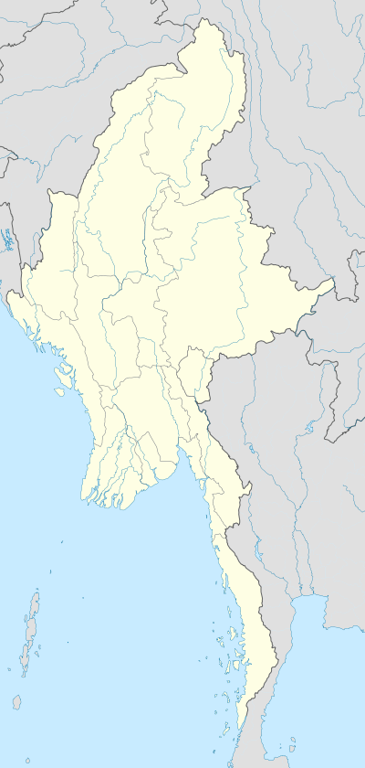 PAA Location of airport in Myanmar | |||||||||||
| Runways | |||||||||||
| |||||||||||
Hpa-An Airport (IATA: PAA, ICAO: VYPA) is an airport serving Hpa-an, Myanmar.
References
- ↑ "VYPA - Hpa An Airport". Skyvector.com. Retrieved 7 April 2016.
- ↑ "Airline and Airport Code Search". IATA. Retrieved 7 April 2016.
This article is issued from Wikipedia - version of the 11/27/2016. The text is available under the Creative Commons Attribution/Share Alike but additional terms may apply for the media files.