Htigyaing
| Htigyaing ထီးချိုင့် Tigyaing | |
|---|---|
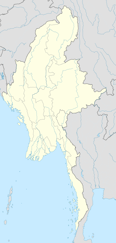 Htigyaing Location in Burma | |
| Coordinates: 23°46′0″N 96°8′0″E / 23.76667°N 96.13333°ECoordinates: 23°46′0″N 96°8′0″E / 23.76667°N 96.13333°E | |
| Country | Burma |
| Division | Sagaing Division |
| District | Katha District |
| Township | Tigyaing Township |
| Population | |
| • Ethnicities | Bamar |
| • Religions | Buddhism |
| Time zone | MST (UTC+6.30) |
Htigyaing, also spelt Tigyaing, is a town in eastern Sagaing Division, in northern Myanmar. It is a port on the Irrawaddy River and the administrative seat of Tigyaing Township.
History
When the Mongols first invaded Burma in 1277, the excessive heat forced them to turn back at Htigyaing which was later taken along with Tagaung in 1283 eventually leading to the fall of the kingdom of Bagan.[1] The Saopha of Wuntho rose up in rebellion in 1891 and attacked Kawlin forcing the British to fall back on Htigyaing.[2]
Transport and economy
Katha - Htigyaing section of the Shwebo - Myitkyina road has been shortened in recent years from 58 miles to just over 26 miles by Mezar Bridge linking Htigyaing with Indaw. Rice paddies, rubber and teak plantations constitute the main agricultural activities in the area.[3]
Notes
- ↑ Parker, E H. "A Sketch of Burmese History, The China Review" (PDF). Retrieved 2008-11-20.
- ↑ "The War in Burmah, West Coast Times, 29 April 1891". Papers Past. Retrieved 2008-11-20.
- ↑ "Entrepreneurs carrying out cultivation". New Light of Myanmar 17 September 2005. Retrieved 2008-11-20.
External links
- Satellite map: Tigyaing GeoNames
- "Tigyaing, Burma" Falling Rain Genomics, Inc.
- "Tigyaing Map — Satellite Images of Tigyaing" Maplandia.com
Capital: Sagaing | ||
| Hkamti District |  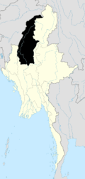 | |
| Kale District | ||
| Katha District | ||
| Mawlaik District | ||
| Monywa District | ||
| Sagaing District | ||
| Shwebo District | ||
| Tamu District | ||
| Yinmabin District | ||
| Naga Self-Administered Zone | ||