Hualian River
Coordinates: 23°56′33″N 121°36′34″E / 23.9425°N 121.6094°E
| Hualian River 花蓮溪 | |
|---|---|
 Hualien River | |
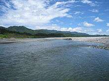
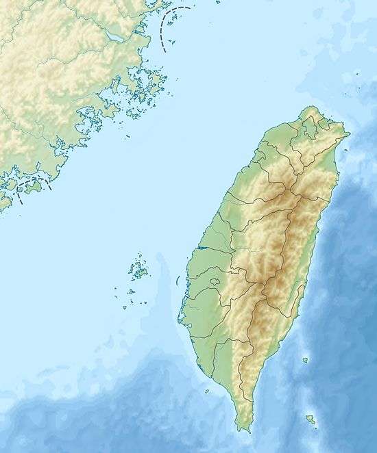 Hualian River in Taiwan | |
| Country | Taiwan |
| Basin | |
| Main source |
Central Mountain Range: Bazi Mountain (拔子山; offshoot of the Dan Mountain) 23°36′54″N 121°19′46″E / 23.615119°N 121.329490°E |
| River mouth | Pacific Ocean: Ji'an, Hualien |
| Basin size | 1,507.09 km2 (581.89 sq mi) |
| Physical characteristics | |
| Length | 57.28 km (35.59 mi) |
| Features | |
| Tributaries | |
| Tributaries |
Ma'an River Guangfu River |
The Hualian River, also spelled Hualien River, (Chinese: 花蓮溪; pinyin: Huālián Xī; Wade–Giles: Hua1-lien2 Hsi1; Pe̍h-ōe-jī: Hoa-liân-khe/Hoa-lian-khe) is a river in Taiwan. It flows through Hualien County for 57 kilometres (35 mi).[1][2][3] The Haian Range starts at the mouth of the river.[4]
Tributaries
There are five major tributaries, listed here from mouth to source:[3]
- Mugua River — Hualian County — 42 km
- Shoufeng River — Hualian County — 37 km
- Wanli River — Hualian County — 53 km
- Ma'an River — Hualian County — 39 km
- Guangfu River — Hualian County — 15 km
See also
References
- ↑ "Geography & demographics". The Republic of China Yearbook 2015. Executive Yuan. 2015. pp. 40–53. ISBN 978-986-04-6013-1.
- ↑ "Hualian River" (in Chinese). Water Resources Agency, Ministry of Economic Affairs. Retrieved 1 May 2016.
- 1 2 "Hualian River basin". River System Introduction (in Chinese). The Ninth River Management Office, Water Resources Agency, Ministry of Economic Affairs. Retrieved 6 May 2016.
- ↑ Taiwan Country Study Guide: Strategic Information and Developments. Int'l Business Publications. 3 March 2012. p. 56. ISBN 978-1-4387-7570-8.
This article is issued from Wikipedia - version of the 10/28/2016. The text is available under the Creative Commons Attribution/Share Alike but additional terms may apply for the media files.