Ilebo Airport
| Ilebo Airport | |||||||||||
|---|---|---|---|---|---|---|---|---|---|---|---|
| IATA: PFR – ICAO: FZVS | |||||||||||
| Summary | |||||||||||
| Airport type | Public | ||||||||||
| Location | Ilebo, Democratic Republic of Congo | ||||||||||
| Elevation AMSL | 1,450 ft / 442 m | ||||||||||
| Coordinates | 04°19′48″S 020°36′21″E / 4.33000°S 20.60583°E | ||||||||||
| Map | |||||||||||
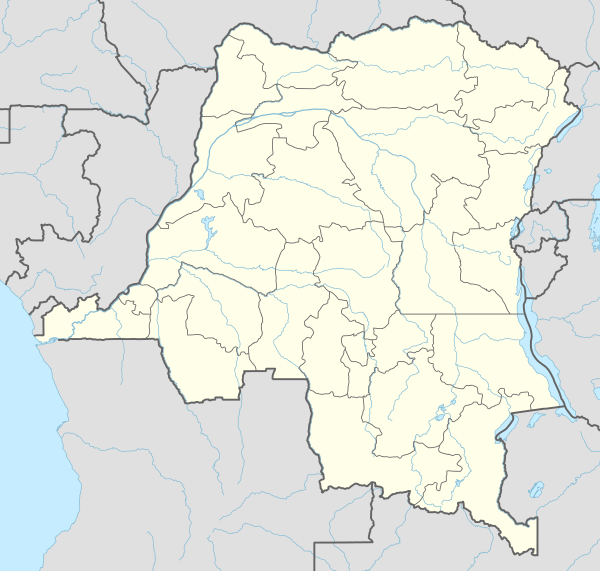 PFR Location within DRC | |||||||||||
| Runways | |||||||||||
| |||||||||||
Ilebo Airport (IATA: PFR, ICAO: FZVS) is an airport serving Ilebo, Democratic Republic of Congo.[2]
Facilities and aircraft
The airport resides at an elevation of 1,450 feet (442 m) above mean sea level and has a runway which is 1,255 metres (4,117 ft) long.[2]
Airlines and destinations
| Airlines | Destinations |
|---|---|
| Malila Airlift | Kinshasa-N'Dolo[3] |
References
- ↑ Google Maps - Ilebo
- 1 2 3 Airport information for Ilebo, Democratic Republic of Congo (FZVS / PFR) at Great Circle Mapper.
- ↑ Malila routes
External links
This article is issued from Wikipedia - version of the 7/7/2016. The text is available under the Creative Commons Attribution/Share Alike but additional terms may apply for the media files.