Imeritsitosika
| Imeritsitosika | |
|---|---|
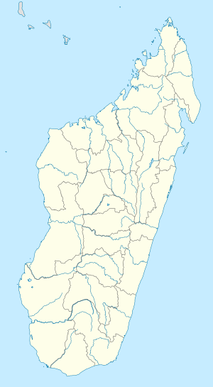 Imeritsitosika Location in Madagascar | |
| Coordinates: 18°59′S 47°19′E / 18.983°S 47.317°E | |
| Country |
|
| Region | Itasy |
| District | Arivonimamo |
| Elevation[1] | 1,301 m (4,268 ft) |
| Population (2001)[2] | |
| • Total | 33,000 |
| • Ethnicities | Merina |
| Time zone | EAT (UTC3) |
Imeritsitosika is a town and commune in Madagascar. It belongs to the district of Arivonimamo, which is a part of Itasy Region. The population of the commune was estimated to be approximately 33,000 in 2001 commune census.[2]
Primary and junior level secondary education are available in town. The majority 98% of the population of the commune are farmers, while an additional 1% receives their livelihood from raising livestock. The most important crop is rice, while other important products are vegetables, cassava and potatoes. Services provide employment for 1% of the population.[2]
Near Imeritsitosika, there is a 240 metres high radio mast, the tallest structure of Madagascar.
References and notes
- ↑ Estimated based on DEM data from Shuttle Radar Topography Mission
- 1 2 3 "ILO census data". Cornell University. 2002. Retrieved 2008-04-23.
| Arivonimamo | 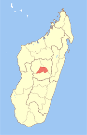 | |
|---|---|---|
| Miarinarivo | ||
| Soavinandriana | ||
Coordinates: 18°59′S 47°19′E / 18.983°S 47.317°E