Indian Springs Pass
For the pass on U.S. Route 40 in Maryland at Maryland Route 56, see Indian Springs, Maryland. For the "Indian Springs Pass" in the southeastern United States, see Grovetown, Georgia.
| Indian Springs Pass | |
| Water divide | |
| Country | United States |
|---|---|
| State | Nevada |
| District | Clark County |
| Borders on | Pahrump Valley-S Spring Mountains-SSE Indian Springs Valley-N (south)-Pintwater Range-ENE Three Lakes Valley-NE (origin)-Las Vegas Valley-ESE |
| City | Indian Springs, NV |
| Coordinates | 36°34′23″N 115°40′31″W / 36.57306°N 115.67528°WCoordinates: 36°34′23″N 115°40′31″W / 36.57306°N 115.67528°W |
| Length | 0.2 mi (0 km), E-W |
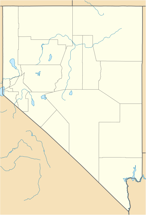 Indian Springs Pass in Nevada | |
Indian Springs Pass, is a mountain pass 40-mi (64 km)[1] northwest of Las Vegas in northwest Clark County, Nevada.
The pass is in a region of converging landforms of various watersheds, valleys, and mountain ranges; specifically it lies on the north perimeter of the Ivanpah-Pahrump Watershed-(Pahrump Valley). The endorheic Indian Springs Valley[2] watershed lies due north, and the endorheic Three Lakes Valley is adjacent east.
Description of water divide regions
The following landforms converge at the Indian Springs Pass region:
- 1–(north)-Pahrump Valley-Spring Mountains, extends due south, (Pahrump Valley, of west watershed)
- 2–Spring Mountains-SE
- 3–Indian Springs Valley & Watershed, (endorheic)-N
- 4–south playas, south Three Lakes Valley (Nevada)-E & SE
The south playas of Three Lakes Valley, are on the northwest, up-basin perimeter of the Las Vegas Valley.
See also
References
Great Basin watersheds | ||
|---|---|---|
|  | |
This article is issued from Wikipedia - version of the 10/3/2015. The text is available under the Creative Commons Attribution/Share Alike but additional terms may apply for the media files.