Chimboya
For the mountain Chimboya in the Quispicanchi Province, Cusco Region, Peru, see Callangate. For the river Vilcanota in the Cusco Region, Peru, see Urubamba River. For the mountain range in the Cusco Region, Peru, see Vilcanota mountain range.
| Chimboya | |
|---|---|
| Jinchurusi, Iruna, Willkanuta | |
.jpg) Chimboya, the snow-covered mountain in the background, as seen from a small lake near the La Raya pass | |
| Highest point | |
| Elevation | 5,489 m (18,009 ft) [1] |
| Coordinates | 14°26′37″S 70°57′44″W / 14.44361°S 70.96222°WCoordinates: 14°26′37″S 70°57′44″W / 14.44361°S 70.96222°W [2] |
| Geography | |
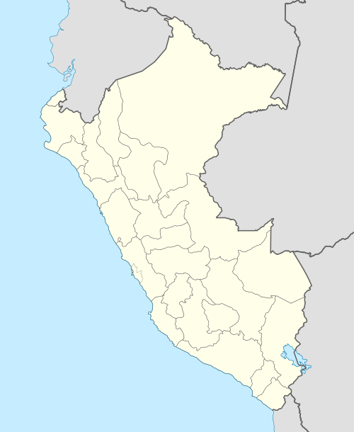
 Chimboya Peru | |
| Location | Peru, Puno Region - Cusco Region |
| Parent range | Andes, La Raya |
Chimboya or Chimbolla (possibly from Aymara Chimpuya, Chimpulla), Inchurusi (Jinchurusi), Iruna or Vilcanota (Willkanuta) is a mountain in the La Raya mountain range in the Andes of Peru, about 5,489 metres (18,009 ft) high. It is situated in the Cusco Region, Canas Province, Layo District and in the Puno Region, Melgar Province, Santa Rosa District.[3] Chimboya lies northeast of the La Raya Pass and the mountain Kunka and southeast of the mountain Yana Khuchilla.
Images
-
.jpg)
The train "The Andean" at La Raya Station with market stalls and the mountain Chimboya in the background
References
- ↑ Jill Neate, Mountaineering in the Andes: "Chimboya (Vilcanota, Iruna, Inchurusi) 5489m"
- ↑ ign.gob.pe IGN, Peru, Nevados: Chimbolla 14°26'37 S 70°57'44 W
- ↑ escale.minedu.gob.pe - UGEL map of the Melgar Province (Puno Region)
This article is issued from Wikipedia - version of the 10/10/2016. The text is available under the Creative Commons Attribution/Share Alike but additional terms may apply for the media files.