Isnapur
| Isnapur | |
|---|---|
| Census Town | |
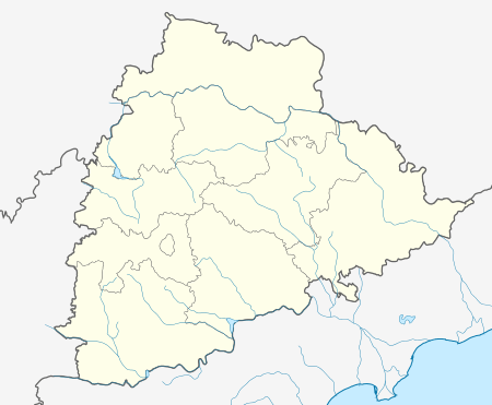 Isnapur  Isnapur Location in Telangana, India | |
| Coordinates: 17°32′55″N 78°12′37″E / 17.54861°N 78.21028°ECoordinates: 17°32′55″N 78°12′37″E / 17.54861°N 78.21028°E | |
| Country |
|
| State | Telangana |
| District | Medak |
| Area[1] | |
| • Total | 9.02 km2 (3.48 sq mi) |
| Population (2011)[1] | |
| • Total | 8,276 |
| • Density | 920/km2 (2,400/sq mi) |
| Languages | |
| • Official | hindi |
| Time zone | IST (UTC+5:30) |
| ISO 3166 code | IN-TG |
| Vehicle registration | TS |
| Website |
telangana |
Isnapur is a census town in Medak district of Indian State Telangana.[1]
Demographics
As of 2012 India census,[2] Isnapur had a population of 17564. Males constitute 53% of the population and females 47%. Isnapur has an average literacy rate of 59%, lower than the national average of 59.5%: male literacy is 68%, and female literacy is 49%. In Isnapur, 15% of the population is under 6 years of age.
The town is mixture of shopping Malls,Restaurants And Hospitals which fulfill the needs of Surrounding Villages.
The Town Also As lodges For Visitors To stay.
The Vegetable Market Runs On Sunday were Fresh Vegetables Are Available.The vegetables Are Directly Sold by Farmers From The Surrounding Villages.
The Kakatiya Hospital Works 24×7 days For Patients Service.The Hospital Has Good Accommodation For the Patients.
References
- 1 2 3 "District Census Handbook – Karimnagar" (PDF). Census of India. pp. 12, 44. Retrieved 11 June 2016.
- ↑ "Census of India 2001: Data from the 2001 Census, including cities, villages and towns (Provisional)". Census Commission of India. Archived from the original on 2004-06-16. Retrieved 2008-11-01.