Jach'a T'uxu
| Jach'a T'uxu | |
|---|---|
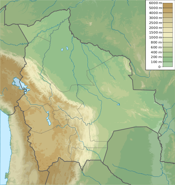 Jach'a T'uxu Location in Bolivia | |
| Highest point | |
| Elevation | 5,358 m (17,579 ft) [1] |
| Coordinates | 16°01′08″S 68°25′26″W / 16.01889°S 68.42389°WCoordinates: 16°01′08″S 68°25′26″W / 16.01889°S 68.42389°W |
| Geography | |
| Location |
Bolivia, La Paz Department, Los Andes Province, Batallas Municipality |
| Parent range | Andes, Cordillera Real |
| Climbing | |
| First ascent | 1983[2] |
Jach'a T'uxu or Jach'a Tuqu (Aymara jach'a big, t'uxu window, hole in the wall, tuqu goitre,[3] "big window" or "big goitre", Hispanicized spelling Jachcha Thojo) is a 5,358-metre-high (17,579 ft) mountain in the Cordillera Real in the Andes of Bolivia. It lies in the La Paz Department, Los Andes Province, Batallas Municipality.[4] Jach'a T'uxu is situated southwest of Patapatani, northwest of Wari Sipitaña, southwest of T'uxu Loma (or Tuqu Loma) and northeast of Wila Wilani.[1]
References
- 1 2 Bolivian IGM map 1.50,000 Lago Khara Kkota
- ↑ Taken from Mountaineering in the Andes by Jill Neate, Bolivia, RGS-IBG Expedition Advisory Centre, 2nd edition, May 1994
- ↑ Radio San Gabriel, "Instituto Radiofonico de Promoción Aymara" (IRPA) 1993, Republicado por Instituto de las Lenguas y Literaturas Andinas-Amazónicas (ILLLA-A) 2011, Transcripción del Vocabulario de la Lengua Aymara, P. Ludovico Bertonio 1612 (Spanish-Aymara-Aymara-Spanish dictionary)
- ↑ "Batallas". INE, Bolivia. Archived from the original on August 26, 2014. Retrieved September 8, 2014.
This article is issued from Wikipedia - version of the 7/21/2016. The text is available under the Creative Commons Attribution/Share Alike but additional terms may apply for the media files.