Jalalia, Punjab
| Jalalia جلاليه | |
|---|---|
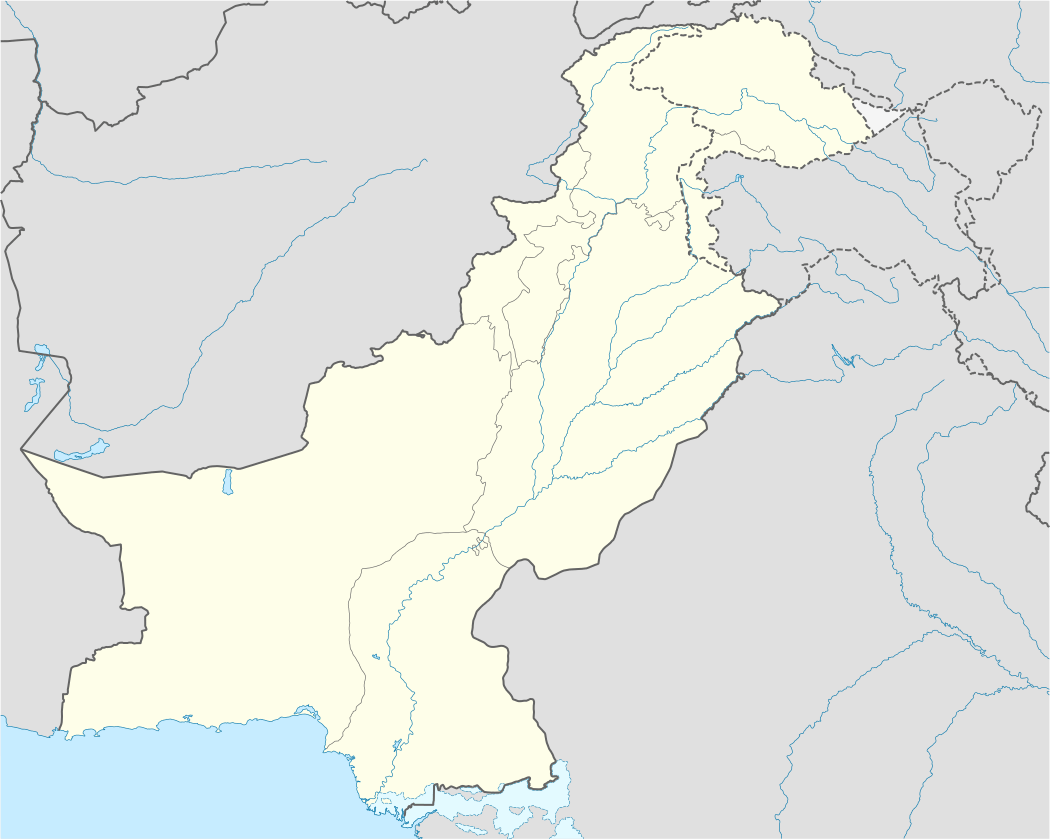 Jalalia Location in Pakistan | |
| Coordinates: 33°58′12″N 72°32′24″E / 33.97000°N 72.54000°E | |
| Country |
|
| Province | Punjab |
| District | Attock District |
| Tehsil | Hazro Tehsil |
| Area | |
| • Total | 10 sq mi (25 km2) |
| Elevation | 830 ft (253 m) |
| Population (2006) | |
| • Total | 10,000 |
| • Literacy | 40% |
| • Languages | Hindko |
| Time zone | PST (UTC+5) |
| • Summer (DST) | +6 (UTC) |
| Calling code | 057 |
| Number of mosques | 14 |
| Postcode | 43400 |
Jalalia (Urdu: جلاليه ) is a village located in Chhachh, the northern part of Attock District (chhachh) of the Punjab province of Pakistan and lies close to the borders of the North-West Frontier Province. The village has two primary schools, a boys' high school, fourteen mosques and three madrasahs, and 40% of its about 10,000 inhabitants are literate. There is a hospital, a medical store and over 70 shops. Like most villages, Jalalia is also an agricultural village producing wheat, maize and tobacco in addition to vegetables and fruit.
Coordinates: 33°58′N 72°32′E / 33.97°N 72.54°E
This article is issued from Wikipedia - version of the 10/1/2016. The text is available under the Creative Commons Attribution/Share Alike but additional terms may apply for the media files.