Jauaperi River
| Jauaperi River | |
|---|---|
 Jauaperi River (Brazil) | |
| Native name | Rio Jauaperi |
| Country | Brazil |
| Basin | |
| Main source | Amazonas |
| River mouth |
Rio Negro 1°35′27″S 61°28′21″W / 1.590921°S 61.472624°WCoordinates: 1°35′27″S 61°28′21″W / 1.590921°S 61.472624°W |
| River system | Rio Negro |
| Physical characteristics | |
| Length | 530 kilometres (330 mi)[1] |
| Features | |
| Tributaries |
|
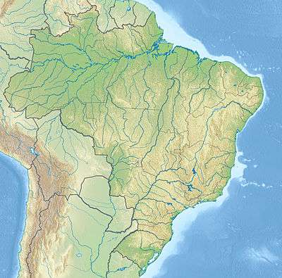
The Jauaperi River (Portuguese: Rio Jauaperi) is a river of Amazonas state in north-western Brazil, a tributary of the Rio Negro.
The lower section of the river forms part of the border between Amazonas and Roraima. Most of the river basin is in the 2,585,910 hectares (6,389,900 acres) Waimiri Atroari Indigenous Territory.[2]
See also
References
Sources
- Contemporary Waimiri Atroari society, ISA: Instituto Socioambiental, retrieved 2016-07-29
- Ziesler, R.; Ardizzone, G.D. (1979), "Amazon River System", The Inland waters of Latin America, Food and Agriculture Organization of the United Nations, ISBN 92-5-000780-9, archived from the original on 8 November 2014
This article is issued from Wikipedia - version of the 9/12/2016. The text is available under the Creative Commons Attribution/Share Alike but additional terms may apply for the media files.