Jelsa (municipality)
| Jelsa herad | |
|---|---|
| Former Municipality | |
|
View of Jelsa Church, the main church for the municipality | |
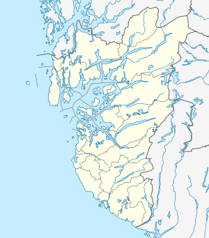 Jelsa herad Location in Rogaland county | |
| Coordinates: 59°20′N 06°04′E / 59.333°N 6.067°ECoordinates: 59°20′N 06°04′E / 59.333°N 6.067°E | |
| Country | Norway |
| Region | Western Norway |
| County | Rogaland |
| District | Ryfylke |
| Municipality ID | NO-1138 |
| Adm. Center | Jelsa |
| Area[1] | |
| • Total | 130 km2 (50 sq mi) |
| Time zone | CET (UTC+01:00) |
| • Summer (DST) | CEST (UTC+02:00) |
| Created as | Formannskapsdistrikt in 1838 |
| Merged into | Suldal, Hjelmeland, and Finnøy in 1965 |

Jelsa is a former municipality in Rogaland county, Norway. The 130-square-kilometre (50 sq mi) municipality existed from 1838 until 1965. It encompassed area in the present-day municipalities of Suldal, Hjelmeland, and Finnøy that surround the Sandsfjorden. The administrative centre was the village of Jelsa, where Jelsa Church is located.[1]
History
The parish of Jælse was established as a municipality on 1 January 1838 (see formannskapsdistrikt). In 1859, the municipality was split, with the northern district becoming the municipality of Sand. The split left Jelsa with a population of 2,606. On 1 January 1914, the eastern district was split off as the new municipality of Erfjord. This left Jelsa with 1,539 residents.
On 1 January 1965 the municipality of Jelsa was dissolved due to recommendations by the Schei Committee. The majority of Jelsa (population: 928) was merged with Erfjord, Sand, and Suldal to form a new, enlarged Suldal municipality. At the same time, the Buergårdene area (population: 8) on the island of Ombo was moved to Hjelmeland municipality, and the rest of the island of Ombo that belonged to Jelsa (population: 89) was moved to Finnøy.[2]
References
- 1 2 Store norske leksikon. "Jelsa – tidligere kommune" (in Norwegian). Retrieved 2015-05-19.
- ↑ Jukvam, Dag (1999). "Historisk oversikt over endringer i kommune- og fylkesinndelingen" (PDF) (in Norwegian). Statistisk sentralbyrå.