Joanstown
| Joanstown | |
|---|---|
| Townland | |
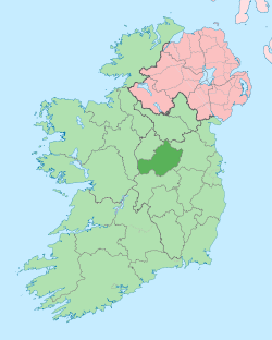
 Joanstown Location of Joanstown within County Westmeath in the Republic of Ireland | |
| Coordinates: 53°38′3″N 7°29′44″W / 53.63417°N 7.49556°WCoordinates: 53°38′3″N 7°29′44″W / 53.63417°N 7.49556°W | |
| Country |
|
| Province | Leinster |
| County | County Westmeath |
| Irish grid reference | N334650 |
Joanstown is a townland in County Westmeath, Ireland. It is located about 15.72 kilometres (10 mi) north–west of Mullingar.
Joanstown is one of 26 townlands of the civil parish of Rathaspick in the barony of Moygoish in the Province of Leinster. The townland covers 1,467.20 acres (5.9375 km2). The neighbouring townlands are: Corrydonnellan to the north, Cappagh to the north–east, Ballinalack to the east, Cullenhugh to the south–east, Baronstown Demesne and Corry to the south, Kilmacahill or Caraun and Rathowen (Edward) to the west and Rathowen and Russagh to the north–west.[1][2]
In the 1911 census of Ireland, there were 16 houses[3] and 58 inhabitants[4] in the townland.
References
- ↑ Joanstown Townland, Co. Westmeath Townlands.ie Retrieved on 10 September 2015.
- ↑ Joanstown Townland, Co. Westmeath The IreAtlas Townland Data Base Retrieved on 10 September 2015.
- ↑ Houses in Joanstown. Census of Ireland 1911. Retrieved on 10 September 2015.
- ↑ Inhabitants in Joanstown. Census of Ireland 1911. Retrieved on 10 September 2015.
External links
- Map of Joanstown at openstreetmap.org
- Joanstown at The IreAtlas Townland Data Base
- Joanstown at Townlands.ie
- Joanstown at Logainm.ie