Kőkút
"Kokut" redirects here. For a district in Thailand, see Ko Kut.
| Kőkút | ||
|---|---|---|
| ||
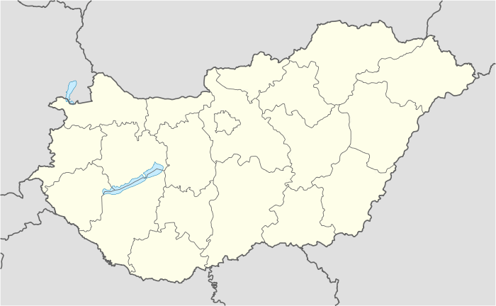 Kőkút Location of Kőkút | ||
| Coordinates: 46°11′31″N 17°34′32″E / 46.19182°N 17.57552°ECoordinates: 46°11′31″N 17°34′32″E / 46.19182°N 17.57552°E | ||
| Country |
| |
| County | Somogy | |
| Area | ||
| • Total | 20.23 km2 (7.81 sq mi) | |
| Population (2004) | ||
| • Total | 624 | |
| • Density | 30.84/km2 (79.9/sq mi) | |
| Time zone | CET (UTC+1) | |
| • Summer (DST) | CEST (UTC+2) | |
| Postal code | 7530 | |
| Area code(s) | 82 | |

Kőkút is a village in Somogy county, Hungary.
External links
This article is issued from Wikipedia - version of the 11/2/2014. The text is available under the Creative Commons Attribution/Share Alike but additional terms may apply for the media files.