Kabarondo, Rwanda
| Kabarondo | |
|---|---|
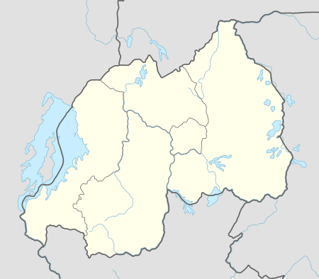 Kabarondo Location in Rwanda | |
| Coordinates: 02°00′38″S 30°33′27″E / 2.01056°S 30.55750°E | |
| Country |
|
| Province | Eastern Province |
| District | Kayonza District |
| Elevation | 1,820 m (5,970 ft) |
| Climate | Aw |
Kabarondo is a town in the Republic of Rwanda.
Location
Kabarondo is located in Kayonza District, Eastern Province. It is in the southeastern part of Rwanda, along the main road (RN3) from Kigali in Rwanda, to Nyakasanza, in Tanzania. Kabarondo is approximately 83 kilometres (52 mi) by road southeast of Kigali, the capital and largest city of Rwanda.[1] The coordinates of Kabarondo are:2°00'38.0"S, 30°33'27.0"E (Latitude:-2.010556; Longitude:30.557500).[2]
Points of interest
The following points of interest are found in or near Kabarondo:
- Offices of Kabarondo Town Council
- Kabarondo Central Market
- Kabarondo Boys Centre - Established in 2010 by the Streets Ahead Children's Centre Association and the Property Professionals Breakfast Club SACCA.[3]
- Kabarondo Vocational Training Centre
- Kabarondo Taxi Park[4]
See also
References
- ↑ "Road Distance Between Kigali And Kabarondo With Map". Globefeed.com. Retrieved 27 May 2015.
- ↑ Google, . "Location of Kabarondo, Rwanda At Google Maps". Google Maps. Retrieved 27 May 2015.
- ↑ WJR, . (6 December 2010). "A New Boys' Centre In Kabarondo, Rwanda". World Jewish Relief (WJR). Retrieved 27 May 2015.
- ↑ Gasana, Claudia (23 May 2015). "Kabarondo Residents Decry Lack of Public Toilets". Rwanda Express (Kigali). Retrieved 27 May 2015.
External links
Coordinates: 02°00′38″S 30°33′27″E / 2.01056°S 30.55750°E
This article is issued from Wikipedia - version of the 6/9/2016. The text is available under the Creative Commons Attribution/Share Alike but additional terms may apply for the media files.