Kabarore
| Kabarore | |
|---|---|
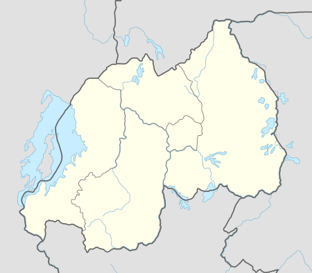 Kabarore Location in Rwanda | |
| Coordinates: 01°37′16″S 30°23′06″E / 1.62111°S 30.38500°E | |
| Country |
|
| Province | Eastern Rwanda |
| District | Gatsibo District |
| Area | |
| • Total | 210 km2 (80 sq mi) |
| Elevation | 1,540 m (5,050 ft) |
| Population (2012 census) | |
| • Total | 50,288 |
| • Density | 240/km2 (620/sq mi) |
Kabarore is a town in Rwanda. It is the headquarters of Gatsibo District.[1]
Location
Kabarore is located in Gatsibo District, Eastern Province, at the western edge of Akagera National Park, about 60 kilometres (37 mi), west of the International border with the Republic of Tanzania. Its location lies about 43 kilometres (27 mi), by road, north of Kayonza, on the Kayonza-Nyagatare Road.[2] The coordinates of the town are:1° 37' 15.60"S, 30° 23' 6.00"E (Latitude:-1.6210; Longitude:30.3850).
Population
The exact population of Kabarore is 50,288.
Points of interest
The points of interest within the town limits or close to the edges of town include:
- The headquarters of Gatsibo District
- Offices of Kabarore Town Council
- Kabarore Central Market
- Kabarore Health Center
- A branch of the Bank of Kigali[3]
External links
See also
References
Coordinates: 01°37′16″S 30°23′06″E / 1.62111°S 30.38500°E
This article is issued from Wikipedia - version of the 11/9/2016. The text is available under the Creative Commons Attribution/Share Alike but additional terms may apply for the media files.