Kamaran Airport
| Kamaran Airport | |||||||||||
|---|---|---|---|---|---|---|---|---|---|---|---|
| IATA: KAM – ICAO: OYKM | |||||||||||
| Summary | |||||||||||
| Airport type | Public | ||||||||||
| Serves | Kamaran | ||||||||||
| Elevation AMSL | 51 ft / 16 m | ||||||||||
| Coordinates | 15°21′40″N 42°36′40″E / 15.36111°N 42.61111°ECoordinates: 15°21′40″N 42°36′40″E / 15.36111°N 42.61111°E | ||||||||||
| Map | |||||||||||
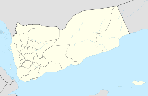 KAM Location of the airport in Yemen | |||||||||||
| Runways | |||||||||||
| |||||||||||
|
Source: Google Maps[1] | |||||||||||
Kamaran (IATA: KAM , ICAO: OYKM ) is an airport serving the village of Kamaran on Kamaran Island in Yemen.
Runway is not easily seen, but does have markings. A poorly defined north-south runway exists, with a reported length of 1,800 metres (5,906 ft)[2]
See also
 Aviation portal
References
External links
This article is issued from Wikipedia - version of the 12/5/2016. The text is available under the Creative Commons Attribution/Share Alike but additional terms may apply for the media files.