Karakore
| Karakore | |
|---|---|
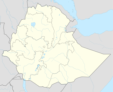 Karakore Location within Ethiopia | |
| Coordinates: 10°29′N 39°56′E / 10.483°N 39.933°ECoordinates: 10°29′N 39°56′E / 10.483°N 39.933°E | |
| Country | Ethiopia |
| Region | Amhara |
| Zone | Semien (North) Shewa |
| Elevation | 1,696 m (5,564 ft) |
| Population (2005) | |
| • Total | 7,487 |
| Time zone | EAT (UTC+3) |
Karakore (sometimes spelled as two words, Kara Kore) is a town in north-eastern Ethiopia. Located in the Semien Shewa Zone of the Amhara Region, this town has a latitude and longitude of 10°29′N 39°56′E / 10.483°N 39.933°E with an elevation of 1696 meters above sea level.
Passing through the settlement on the main north-south highway in the 1940s, David Buxton described the town as lying to the east of the escarpment of the Ethiopian highlands, and "a district notorious for armed hold-ups on the road."[1]
Demographics
Based on figures from the Central Statistical Agency in 2005, Karakore has an estimated total population of 7,487 of whom 3,795 were males and 3,692 were females.[2] The 1994 census reported this town had a total population of 4,311 of whom 1,997 were males and 2,314 were females. It is one of three towns in Efratana Gidim woreda.
Notes
- ↑ David Buxton, Travels in Ethiopia, second edition (London: Benn, 1957), p. 104
- ↑ CSA 2005 National Statistics, Table B.4