Karbala Northeast Airport
| Karbala Northeast Airport | |||||||||||
|---|---|---|---|---|---|---|---|---|---|---|---|
| IATA: none – ICAO: none | |||||||||||
| Summary | |||||||||||
| Airport type | Public (Under Development) | ||||||||||
| Location | Karbala, Iraq | ||||||||||
| Elevation AMSL | 313 ft / 95 m | ||||||||||
| Coordinates | 32°45′20″N 044°07′39″E / 32.75556°N 44.12750°E | ||||||||||
| Runways | |||||||||||
| |||||||||||
Karbala Northeast Apt
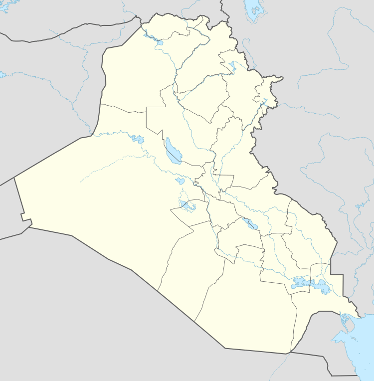
Location of Karbala Northeast Airport, Iraq
Karbala Northeast Airport is a regional airport under development in the Karbala Governorate of Iraq.
History
It is a former Iraqi Air Force auxiliary airfield consisting of a 10,000-foot runway and a small aircraft parking ramp. It was apparently abandoned after the 1991 Gulf War and was seized by Coalition ground forces during Operation Iraqi Freedom in March 2003.
Aerial imagery shows that the runway has been resurfaced; however, the airport has not yet registered with the International Air Transport Association (IATA) nor does it have aircraft on its parking ramp.
This article is issued from Wikipedia - version of the 2/2/2016. The text is available under the Creative Commons Attribution/Share Alike but additional terms may apply for the media files.