Kargıcak
| Kargıcak | |
|---|---|
| Village | |
 | |
 Kargıcak Location in Turkey | |
| Coordinates: 36°26′N 33°39′E / 36.433°N 33.650°ECoordinates: 36°26′N 33°39′E / 36.433°N 33.650°E | |
| Country |
|
| Province | Mersin Province |
| District | Silifke |
| Elevation | 190 m (625 ft) |
| Population (2011) | |
| • Total | 426 |
| Time zone | EET (UTC+2) |
| • Summer (DST) | EEST (UTC+3) |
| Postal code | 33940 |
| Area code(s) | 0324 |
| Licence plate | 33 |
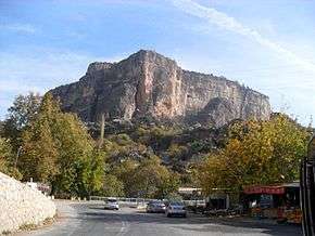
Kargıcak is a village in Silifke district of Mersin Province, Turkey. It is situated to the east of Göksu River valley at 36°26′N 33°39′E / 36.433°N 33.650°E. Distance to Silifke is 35 kilometres (22 mi) and to Mersin is 120 kilometres (75 mi). The population of the village is 426[1] as of 2011. Main econoımic activity is farming. The village produces olive and various fruits like fig and grapes. Kargıcak is on the state highway ![]() and being a convenient stop, small trade contributes to village economy.
and being a convenient stop, small trade contributes to village economy.
References
This article is issued from Wikipedia - version of the 12/22/2014. The text is available under the Creative Commons Attribution/Share Alike but additional terms may apply for the media files.