Kasama Airport
| Kasama Airport | |||||||||||||||
|---|---|---|---|---|---|---|---|---|---|---|---|---|---|---|---|
| IATA: KAA – ICAO: FLKS | |||||||||||||||
| Summary | |||||||||||||||
| Airport type | Public | ||||||||||||||
| Serves | Kasama | ||||||||||||||
| Elevation AMSL | 4,542 ft / 1,384 m | ||||||||||||||
| Coordinates | 10°13′00″S 31°08′00″E / 10.21667°S 31.13333°ECoordinates: 10°13′00″S 31°08′00″E / 10.21667°S 31.13333°E | ||||||||||||||
| Map | |||||||||||||||
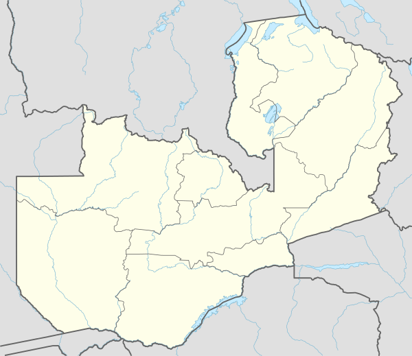 KAA Location of the airport in Zambia | |||||||||||||||
| Runways | |||||||||||||||
| |||||||||||||||
Kasama Airport (IATA: KAA, ICAO: FLKS) is an airport serving Kasama, Northern Province, Zambia.
The Kasama non-directional beacon (ident: KS)[3] is located at the eastern edge of the field.
See also
- List of airports in Zambia
- Transport in Zambia
 Zambia portal
 Aviation portal
References
- ↑ Airport information for KAA at Great Circle Mapper.
- ↑ Google Maps
- ↑ SkyVector Aeronautical Charts - KS NDB
- Google Earth
- CloudMade maps
External links
This article is issued from Wikipedia - version of the 12/5/2016. The text is available under the Creative Commons Attribution/Share Alike but additional terms may apply for the media files.