Kasindi
| Kasindi | |
|---|---|
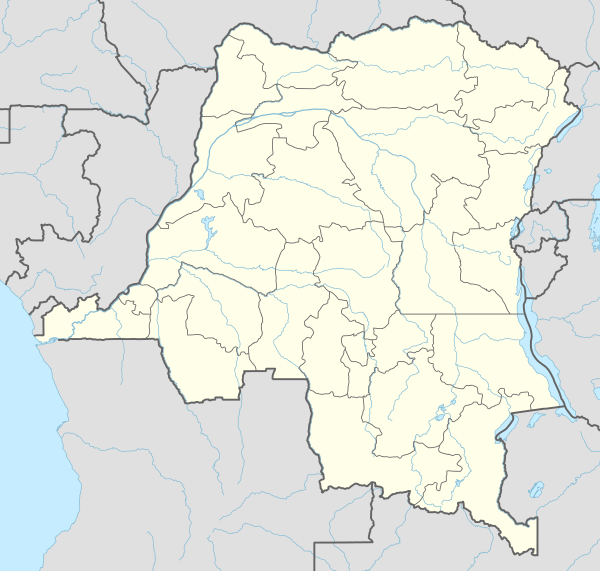 Kasindi Location in Democratic Republic of the Congo | |
| Coordinates: 00°02′52″N 29°41′11″E / 0.04778°N 29.68639°E | |
| Country |
|
| Province | North Kivu |
| Climate | Af |
Kasindi is a town in north eastern Democratic Republic of Congo.
Location
Kasindi is located about 77 kilometres (48 mi) southeast of the city of Beni, the nearest large city.[1] This is approximately 283 kilometres (176 mi) north of the provincial capital of Goma.[2] The coordinates of Kasindi are 0°02'52.0"N, 29°41'11.0"E (Latitude:0.047772; Longitude:29.686401).[3] Kasindi sits at the international border with Uganda, directly across the town of Mpondwe, a distance of about 16 kilometres (10 mi).[4]
Overview
The Mpondwe-Kasindi border crossing is a busy transit point for people and trade merchandise. In 2005, it was the busiest cross border point for informal trade between Uganda and DR Congo, accounting for 25.0 percent of exports and 10.6 percent of imports for Uganda.[5]
In 2012, the Mai Mai rebels attacked the towns of Kasindi and Lubiriha in DR Congo, causing hundreds of refugees to flee into Uganda.[6]
References
- ↑ GFC (19 May 2016). "Distance between Kasindi, North-Kivu, Democratic Republic of the Congo and Beni, North-Kivu, Democratic Republic of the Congo". Globefeed.com (GFC). Retrieved 19 May 2016.
- ↑ GFC (19 May 2016). "Distance between Kasindi, North-Kivu, Democratic Republic of the Congo and Goma, North-Kivu, Democratic Republic of the Congo". Globefeed.com (GFC). Retrieved 19 May 2016.
- ↑ Google (19 May 2016). "Location of Kasindi, North Kivu, DRCongo" (Map). Google Maps. Google. Retrieved 19 May 2016.
- ↑ GFC (19 May 2016). "Distance between Kasindi Nord-Kivu, Congo Kinshasa and Mpondwe Kasese District, Uganda". Globefeed.com (GFC). Retrieved 19 May 2016.
- ↑ Muwanga, David (10 August 2006). "Busia leads in border trade". New Vision. Kampala. Retrieved 19 May 2016.
- ↑ Haddadi, Anissa (3 August 2012). "DRC: Hundreds Flee to Uganda to Escape Mai Mai Militia Attacks". International Business Times. New York City. Retrieved 19 May 2016.
External links
Coordinates: 00°02′52″N 29°41′11″E / 0.04778°N 29.68639°E