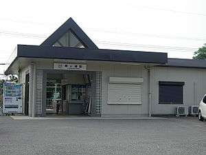
Kasumigaura Station
Kasumigaura Station 霞ヶ浦駅 | |
|---|---|
 Kasumigaura Station | |
| Location |
1-14-2 Hatta-chō, Yokkaichi, Mie (三重県四日市市八田一丁目14-2) Japan |
| Operated by | Kintetsu Railway |
| Line(s) | Nagoya Line |
| History | |
| Opened | 1929 |
| Previous names | Hazu (until 1950) |
| Traffic | |
| Passengers (FY2010) | 1807 daily |
Kasumigaura Station (霞ヶ浦駅 Kasumigaura-eki) is a railway station on the Nagoya Line in Yokkaichi, Mie Prefecture, Japan, operated by the private railway operator Kintetsu Railway. Kasumigaura Station is 33.5 rail kilometers from the terminus of the line at Kintetsu Nagoya Station.[1]
Lines
Station layout
Kasumigaura Station has two opposed side platforms.
Platforms
| 1 | ■ Nagoya Line | for Yokkaichi, Osaka and Kashikojima |
| 2 | ■ Nagoya Line | for Kuwana and Nagoya |
Adjacent stations
| « | Service | » | ||
|---|---|---|---|---|
| Kintetsu Nagoya Line | ||||
| Express (急行): Does not stop at this station | ||||
| Kintetsu Tomida | Semi-Express (準急) | Akuragawa | ||
| Kintetsu Tomida | Local (普通) | Akuragawa | ||
History
Kasumigaura Station opened on January 30, 1929 as Hazu Station (羽津駅 Hazu-eki), on the Ise Railway. The original Kasumigaura Station was a provisional station located 500 meters away in the direction of Nagoya, October 28 of the same year. and was opened on The Ise Railway became the Sangu Express Electric Railway's Ise Line on September 15, 1936 at which time the original Kasumigaura Station was elevated in status to that of a full station. The line was renamed the Nagoya Line on December 7, 1938. After merging with Osaka Electric Kido on March 15, 1941, the line became the Kansai Express Railway's Nagoya Line.[2] The original Kasumigaura Station was closed on October 23, 1943. The Kansai Express was merged with the Nankai Electric Railway on June 1, 1944 to form Kintetsu.[2] Hazu Station was renamed to its present name on June 5, 1950.
References
External links
- (Japanese) Kintetsu: Kasumigaura Station
Coordinates: 34°59′34.17″N 136°38′11.68″E / 34.9928250°N 136.6365778°E