Kattiniq/Donaldson Airport
| Katinniq/Donaldson Airport | |||||||||||
|---|---|---|---|---|---|---|---|---|---|---|---|
| IATA: YAU – ICAO: none – TC LID: CTP9 | |||||||||||
| Summary | |||||||||||
| Airport type | Private | ||||||||||
| Operator | Glencore Canada Corporation - Mine | ||||||||||
| Location | Raglan Mine, Quebec | ||||||||||
| Time zone | EST (UTC−05:00) | ||||||||||
| • Summer (DST) | EDT (UTC−04:00) | ||||||||||
| Elevation AMSL | 1,902 ft / 580 m | ||||||||||
| Coordinates | 61°39′44″N 073°19′17″W / 61.66222°N 73.32139°WCoordinates: 61°39′44″N 073°19′17″W / 61.66222°N 73.32139°W | ||||||||||
| Map | |||||||||||
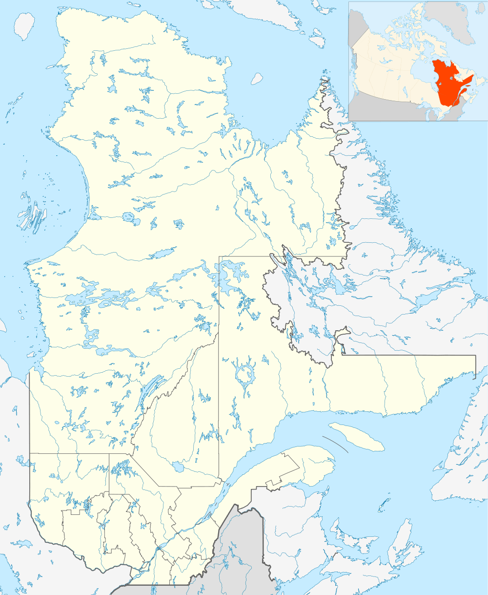 CTP9 Location in Quebec | |||||||||||
| Runways | |||||||||||
| |||||||||||
|
Sources: Canada Flight Supplement[1] | |||||||||||
Katinniq/Donaldson Airport, (IATA: YAU, TC LID: CTP9), is located 10 nautical miles (19 km; 12 mi) east of Raglan Mine, Quebec, Canada.
Airlines and destinations
| Airlines | Destinations |
|---|---|
| Air Inuit | Charter: Rouyn-Noranda, Val-d'Or |
References
- ↑ Canada Flight Supplement. Effective 0901Z 15 September 2016 to 0901Z 10 November 2016
External links
| By name | |
|---|---|
| By location indicator | |
| By province/territory | |
| By region | |
| National Airports System | |
| Related | |
| |
This article is issued from Wikipedia - version of the 12/4/2016. The text is available under the Creative Commons Attribution/Share Alike but additional terms may apply for the media files.