Kaveripattinam (Dharmapuri)
| Kaveripattanam Kaveripattanam | |
|---|---|
| city | |
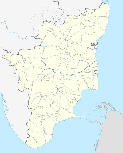 Kaveripattanam Location in Tamil Nadu, India | |
| Coordinates: 12°25′N 78°14′E / 12.42°N 78.23°ECoordinates: 12°25′N 78°14′E / 12.42°N 78.23°E | |
| Country |
|
| State | Tamil Nadu |
| District | Krishnagiri |
| Elevation | 454 m (1,490 ft) |
| Population (2001) | |
| • Total | 14,417 |
| Languages | |
| • Official | Tamil |
| Time zone | IST (UTC+5:30) |
| Vehicle registration | TN-24 |
Kaveripattanam is a panchayat town in Krishnagiri district in the Indian state of Tamil Nadu. It is approximately 100 kilometres (62 mi) from Bangalore. The town is very green because of the KRP Dam nearby. Kaveripattanam is famous for its cultivation of mangoes. There are lot of mango pulp industries, milk processing units and small scale industries.
Geography
Kaverippattanam is located at 12°25′N 78°14′E / 12.42°N 78.23°E.[1] It has an average elevation of 454 m (1,490 ft).
Demographics
As of 2009 India census,[2] Kaveripattanam had a population of 14,417. Males constitute 50% of the population and females 50%. Kaveripattanam has an average literacy rate of 74%, higher than the national average of 59.5%: male literacy is 81%, and female literacy is 67%. In Kaveripattanam, 11% of the population is under 6 years of age.
Kaveripattanam comes under Krishnagiri District.
Politics
Kaveripattanam assembly constituency is part of Krishnagiri (Lok Sabha constituency).[3]
References
- ↑ Falling Rain Genomics, Inc -nedungal
- ↑ "Census of India 2001: Data from the 2001 Census, including cities, villages and towns (Provisional)". Census Commission of India. Archived from the original on 2004-06-16. Retrieved 2008-11-01.
- ↑ "List of Parliamentary and Assembly Constituencies" (PDF). Tamil Nadu. Election Commission of India. Retrieved 2008-10-12.